Transport Functions
Port
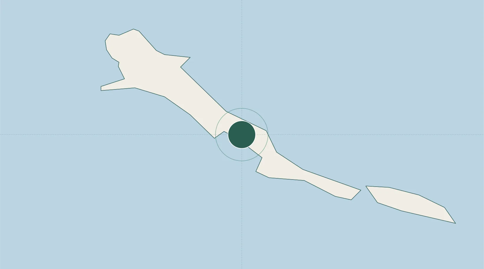
Hub Profile
Region
EX
Location
Nearby Logistics Neighbours
Cities
- 1Bock Cay46 km
- 2Stella Maris55 km
- 3The Bight98 km
- 4Little San Salvador117 km
- 5Cockburn Town145 km
Ports
- 1Cockburn144 km
- 2Nassau231 km
- 3Clifton Pier239 km
- 4Puerto Padre260 km
- 5Manati261 km
Airports
- 1Exuma International Airport6 km
- 2Stella Maris Airport58 km
- 3Deadman's Cay Airport85 km
- 4Staniel Cay Airport94 km
- 5New Bight Airport95 km
Trade Zones
- 1Freeport Bahamas439 km
- 2Grand Bahama International Airport442 km
- 3Caracol Free Zone584 km
- 4FTZ de Trou du Nord587 km
- 5Cazoumar Free Zone605 km
DatabookThe Record of Consolidated Knowledge
Bahamas beyond logistics?