Transport Functions
Port
Airport
Hub Profile
Region
SE
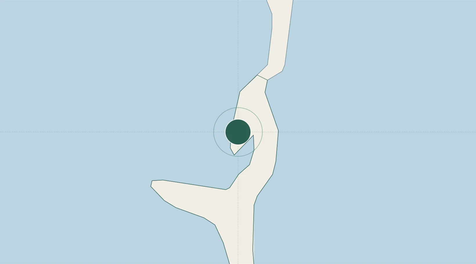
Location
Nearby Logistics Neighbours
Cities
- 1Cape Eleuthera18 km
- 2Little San Salvador45 km
- 3Harbour Island80 km
- 4Harbour Island80 km
- 5The Bight104 km
Ports
- 1Nassau118 km
- 2Clifton Pier137 km
- 3Cockburn193 km
- 4South Riding Point278 km
- 5Freeport315 km
Airports
Trade Zones
- 1Freeport Bahamas306 km
- 2Grand Bahama International Airport310 km
- 3FTZ No. 180 Miami (Wynwood)415 km
- 4FTZ No. 025 Broward County415 km
- 5FTZ No. 241 Fort Lauderdale424 km
DatabookThe Record of Consolidated Knowledge
Bahamas beyond logistics?