Medium airport · Bahamas

Treasure Cay AirportMYAT
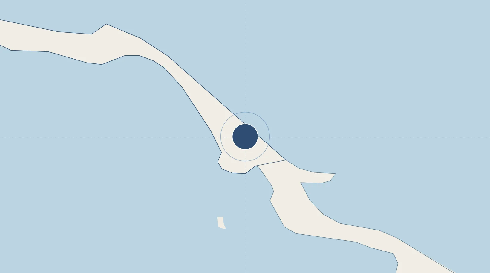
26.7453°, -77.3913°
7,001 ft
Longest runway
1
Runways
8 ft
Elevation

Runway & Layout

Treasure Cay Airport runway & taxiway layout
Runway & taxiway layout — OpenStreetMap (ODbL) / OurAirports

Radio Frequencies

APP
121 MHz
NASSAU APP
RDO
118.6 MHz
NASSAU RDO
UNIC
122.8 MHz
UNICOM
OurAirports

Navaids

ZTC VOR-DME Treasure Cay 112.90 MHz
OurAirports

Runways · 1

RunwayDimensions SurfaceTrue headingLit
14/32 7,001 × 150ft Asphalt 133°
OurAirports

Airport Specifications

IATA code
TCB
OurAirports
ICAO code
MYAT
OurAirports
Airport class
Medium airport
OurAirports
Scheduled service
Yes
OurAirports
Runway surface
Asphalt
OurAirports
Served city
Treasure Cay
OurAirports

Location

Location of MYAT
Natural Earth 10m (public domain) · North Abaco · MYAT · 26.75, -77.39GoogleOSMYandex

Nearby Logistics Neighbours

Airports
  1. 1Leonard M. Thompson International Airport40 km
  2. 2Great Harbour Cay Airport121 km
  3. 3Grand Bahama International Airport131 km
  4. 4Chub Cay Airport156 km
  5. 5North Eleuthera Airport158 km
Nearest neighbours — logibook spatial index (haversine) over the source coordinates
Cities
  1. 1Green Turtle Cay6 km
  2. 2Marsh Harbour48 km
  3. 3Gorda Cay75 km
  4. 4Great Stirrup Cay113 km
  5. 5Little Stirrup Cay117 km
Nearest neighbours — logibook spatial index (haversine) over the source coordinates
Ports
  1. 1South Riding Point83 km
  2. 2Freeport141 km
  3. 3Nassau185 km
  4. 4Clifton Pier195 km
  5. 5Palm Beach264 km
Nearest neighbours — logibook spatial index (haversine) over the source coordinates
Trade Zones
  1. 1Freeport Bahamas129 km
  2. 2Grand Bahama International Airport132 km
  3. 3FTZ No. 135 Palm Beach County264 km
  4. 4FTZ No. 025 Broward County282 km
  5. 5FTZ No. 241 Fort Lauderdale284 km
Nearest neighbours — logibook spatial index (haversine) over the source coordinates
DatabookThe Record of Consolidated Knowledge
Bahamas beyond logistics?
Browse databook

All Sources

AirportsOurAirports
Public domain
Portsthe NGA World Port Index
Public domain (US gov)
LocationsUN/LOCODE
UN/LOCODE — free
Trade Zonesthe World Bank SEZ database
CC BY 4.0
Trade ZonesOpen Zone Map
CC BY
InfrastructureOpenStreetMap
ODbL 1.0
← Bahamas airports