Transport Functions
Port
Hub Profile
Place type
Regional capital
Region
San Salvador
Population
831
Time zone
America/Nassau
Elevation
10 m
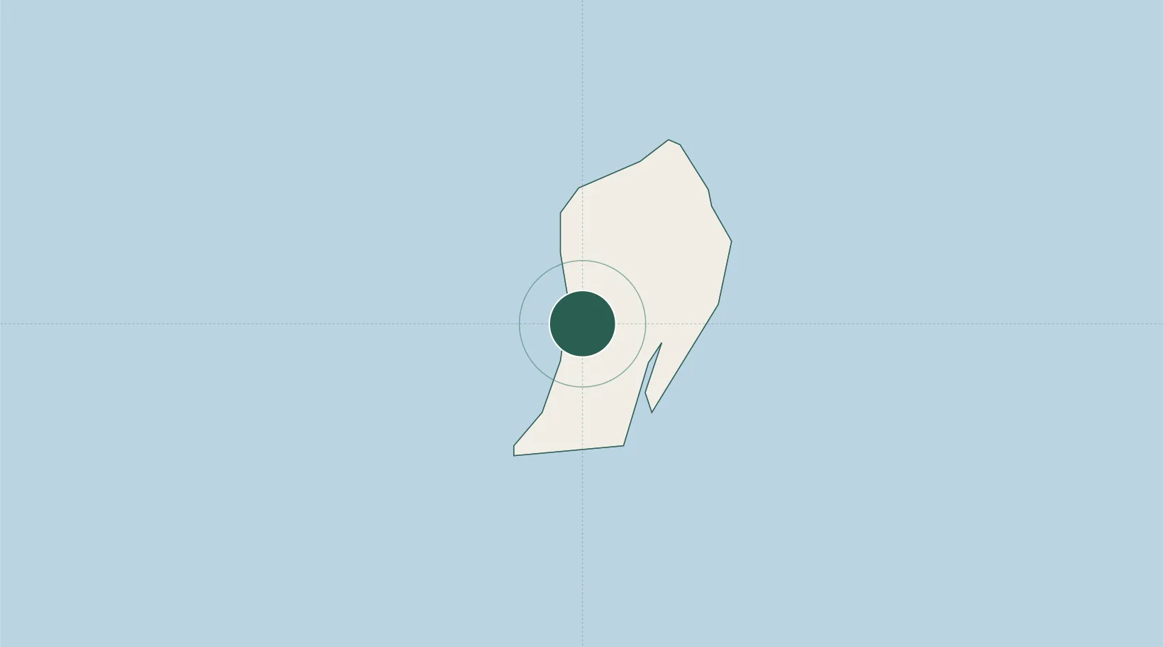
Location
Nearby Logistics Neighbours
Cities
- 1Stella Maris93 km
- 2The Bight95 km
- 3Great Exuma Island145 km
- 4Little San Salvador155 km
- 5Bock Cay169 km
Ports
- 1Nassau309 km
- 2Clifton Pier325 km
- 3Providenciales343 km
- 4Matthew Town353 km
- 5Vita359 km
Airports
- 1San Salvador International Airport3 km
- 2Stella Maris Airport92 km
- 3New Bight Airport100 km
- 4Deadman's Cay Airport112 km
- 5Hard Bargain Airport121 km
Trade Zones
- 1Freeport Bahamas501 km
- 2Grand Bahama International Airport505 km
- 3Caracol Free Zone550 km
- 4FTZ de Trou du Nord554 km
- 5Zona Franca Industrial Tamboril (ZFT)562 km
DatabookThe Record of Consolidated Knowledge
Bahamas beyond logistics?