UN/LOCODE hub · Bahamas
BSSML

Stella Maris

23.6000°, -75.3000°
2
Transport functions

Transport Functions

Port
Airport
UN/LOCODE

Hub Profile

Place type
Populated place
GeoNames
Region
Long Island
GeoNames
Time zone
America/Nassau
GeoNames
Elevation
27 m
GeoNames

Location

Location of BSSML
Natural Earth 10m (public domain) · Long Island · BSSML · 23.60, -75.30GoogleOSMYandex

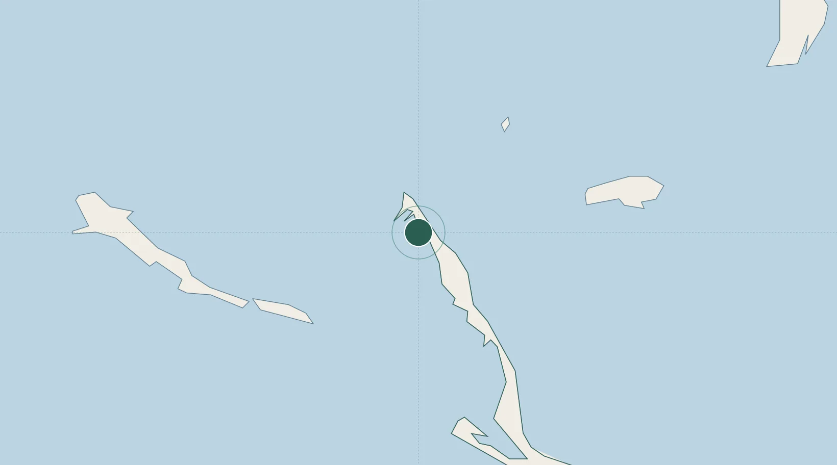
Nearby Logistics Neighbours

Cities
  1. 1Great Exuma Island55 km
  2. 2The Bight80 km
  3. 3Bock Cay92 km
  4. 4Cockburn Town93 km
  5. 5Little San Salvador126 km
Nearest neighbours — logibook spatial index (haversine) over the source coordinates
Ports
  1. 1Cockburn93 km
  2. 2Nassau265 km
  3. 3Clifton Pier276 km
  4. 4Vita286 km
  5. 5Puerto Padre287 km
Nearest neighbours — logibook spatial index (haversine) over the source coordinates
Airports
  1. 1Stella Maris Airport4 km
  2. 2Deadman's Cay Airport51 km
  3. 3Exuma International Airport59 km
  4. 4Hard Bargain Airport77 km
  5. 5New Bight Airport81 km
Nearest neighbours — logibook spatial index (haversine) over the source coordinates
Trade Zones
  1. 1Freeport Bahamas470 km
  2. 2Grand Bahama International Airport474 km
  3. 3Caracol Free Zone554 km
  4. 4FTZ de Trou du Nord557 km
  5. 5CODEVI Free Zone582 km
Nearest neighbours — logibook spatial index (haversine) over the source coordinates
DatabookThe Record of Consolidated Knowledge
Bahamas beyond logistics?
Browse databook

All Sources

LocationsUN/LOCODE
UN/LOCODE — free
Portsthe NGA World Port Index
Public domain (US gov)
AirportsOurAirports
Public domain
Trade Zonesthe World Bank SEZ database
CC BY 4.0
Trade ZonesOpen Zone Map
CC BY
← Bahamas locations