Runway & Layout

Airport Specifications
ICAO code
MYLR
Airport class
Medium airport
Scheduled service
No
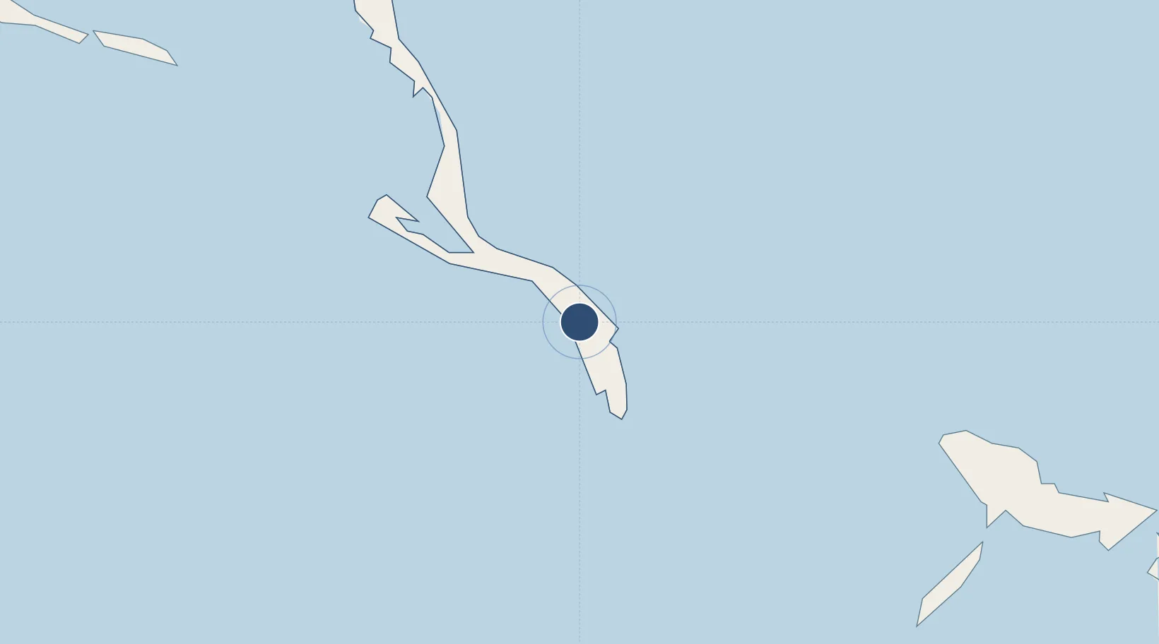
Location
Nearby Logistics Neighbours
Airports
- 1Deadman's Cay Airport27 km
- 2Stella Maris Airport74 km
- 3Colonel Hill Airport80 km
- 4Spring Point Airport115 km
- 5Exuma International Airport117 km
Cities
- 1Stella Maris77 km
- 2Great Exuma Island111 km
- 3Cockburn Town121 km
- 4The Bight154 km
- 5Bock Cay157 km
Ports
- 1Cockburn122 km
- 2Vita239 km
- 3Banes247 km
- 4Puerto Padre255 km
- 5Antilla257 km
Trade Zones
- 1Caracol Free Zone478 km
- 2FTZ de Trou du Nord481 km
- 3CODEVI Free Zone506 km
- 4Zona Franca Industrial Tamboril (ZFT)524 km
- 5Limestone Park536 km
DatabookThe Record of Consolidated Knowledge
Bahamas beyond logistics?