Channel & Berth Profile
Pilotage, Tugs & Services
Pilotage compulsoryNO
Pilotage availableYES
Tug assistanceNO
Salvage tugsNO
Potable waterYES
Diesel bunkersYES
MedicalYES
Facilities & Capabilities
Container—
Ro-Ro—
Liquid bulk—
Dry bulk—
Oil terminal—
Break bulk—
Dry dock—
RepairsNO
Bunkering—
Rail link—
Dangerous cargo—
ISPS security—
Harbour Specifications
Harbour size
Very Small
Harbour type
Open Roadstead
Shelter
Good
Water body
North Atlantic Ocean
Tidal range
2 m
Overhead limit
No
Pilotage
No
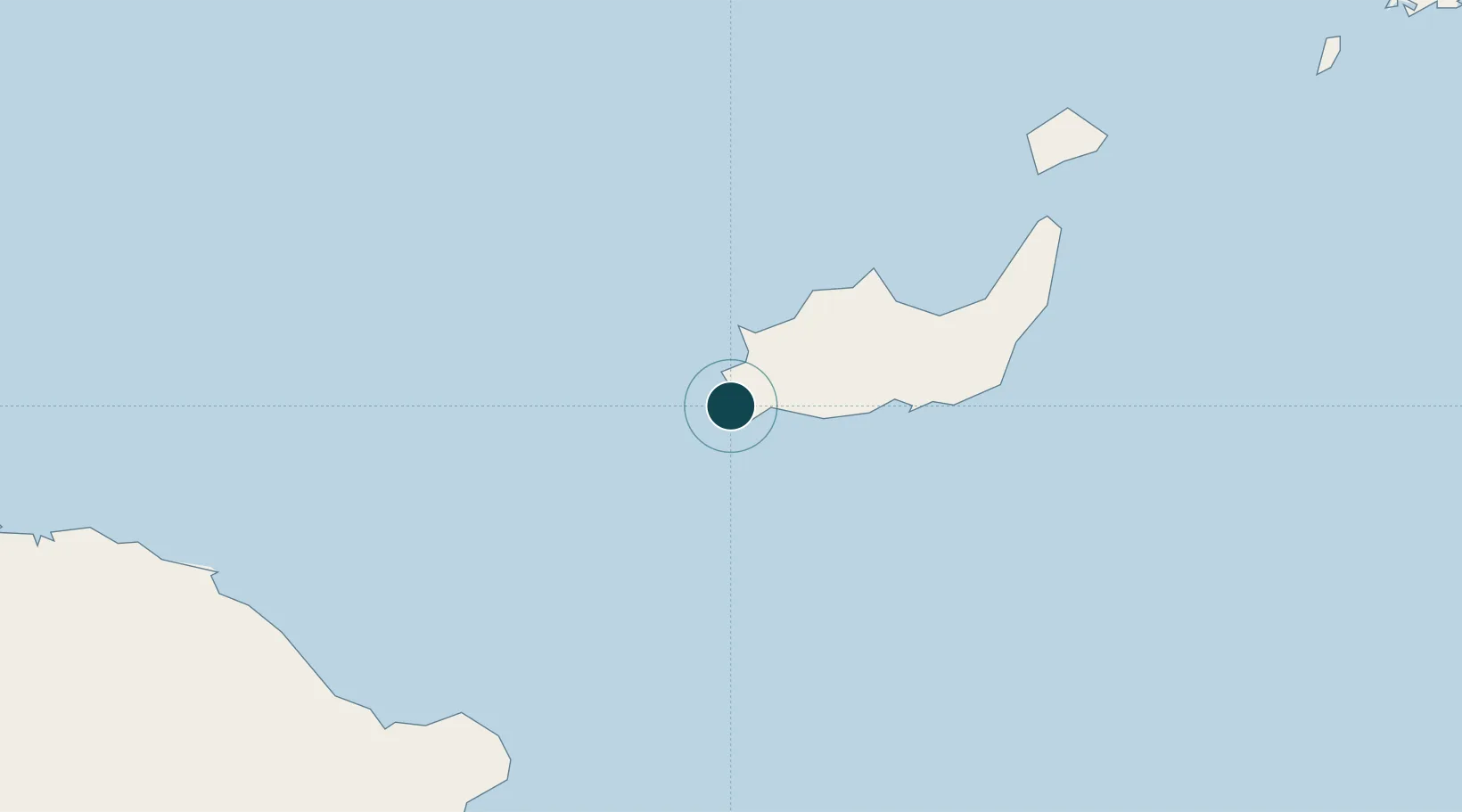
Location
Nearby Logistics Neighbours
Ports
- 1Baracoa108 km
- 2Cayo Moa Grande130 km
- 3Providenciales169 km
- 4Bahia De Sagua De Tanamo174 km
- 5Puerto Guantanamo185 km
Cities
- 1Sagua de Tánamo166 km
- 2Cap-Haïtien204 km
- 3Banes211 km
- 4Pilón222 km
- 5Caracol224 km
Airports
- 1Inagua Airport3 km
- 2Gustavo Rizo Airport108 km
- 3Orestes Acosta Airport133 km
- 4Port-de-Paix Airport143 km
- 5Spring Point Airport169 km
Trade Zones
- 1Caracol Free Zone225 km
- 2FTZ de Trou du Nord227 km
- 3CODEVI Free Zone256 km
- 4Lafito Port Free Zone287 km
- 5FTZ Hispaniola300 km
DatabookThe Record of Consolidated Knowledge
Bahamas beyond logistics?