Large airport · Bahamas
San Salvador International AirportMYSM
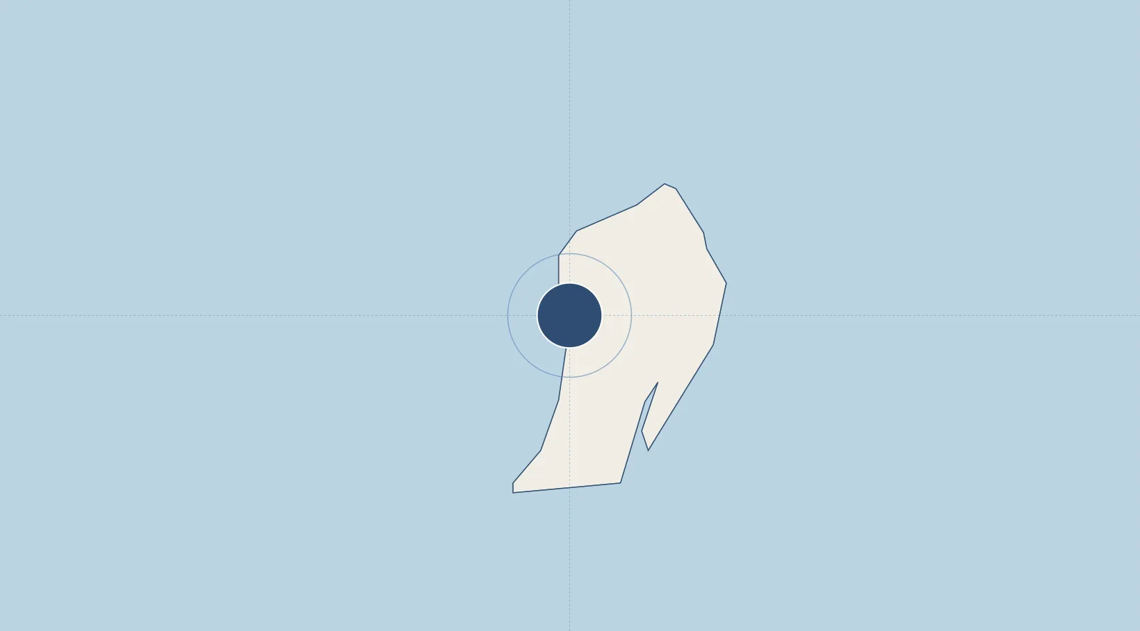
24.0630°, -74.5232°
8,000 ft
Longest runway
1
Runways
24 ft
Elevation
Runway & Layout

Radio Frequencies
RDO
124.6 MHz
NASSAU RDO
UNIC
122.8 MHz
UNICOM
Navaids
ZSJ NDB San Salvador 281 kHz
Runways · 1
| Runway | Dimensions | Surface | True heading | Lit |
|---|---|---|---|---|
| 10/28 | 8,000 × 150ft | Asphalt | 095° | ✓ |
Airport Specifications
IATA code
ZSA
ICAO code
MYSM
Airport class
Large airport
Scheduled service
Yes
Runway surface
Asphalt
Served city
San Salvador
Location
Nearby Logistics Neighbours
Airports
- 1Stella Maris Airport93 km
- 2New Bight Airport98 km
- 3Deadman's Cay Airport114 km
- 4Hard Bargain Airport123 km
- 5Arthur's Town Airport133 km
Cities
- 1Cockburn Town3 km
- 2The Bight93 km
- 3Stella Maris94 km
- 4Great Exuma Island146 km
- 5Little San Salvador153 km
Ports
- 1Cockburn2 km
- 2Nassau308 km
- 3Clifton Pier323 km
- 4Providenciales346 km
- 5Matthew Town357 km
Trade Zones
- 1Freeport Bahamas499 km
- 2Grand Bahama International Airport503 km
- 3Caracol Free Zone553 km
- 4FTZ de Trou du Nord557 km
- 5Zona Franca Industrial Tamboril (ZFT)565 km
DatabookThe Record of Consolidated Knowledge
Bahamas beyond logistics?