Medium airport · Bahamas
Deadman's Cay AirportMYLD
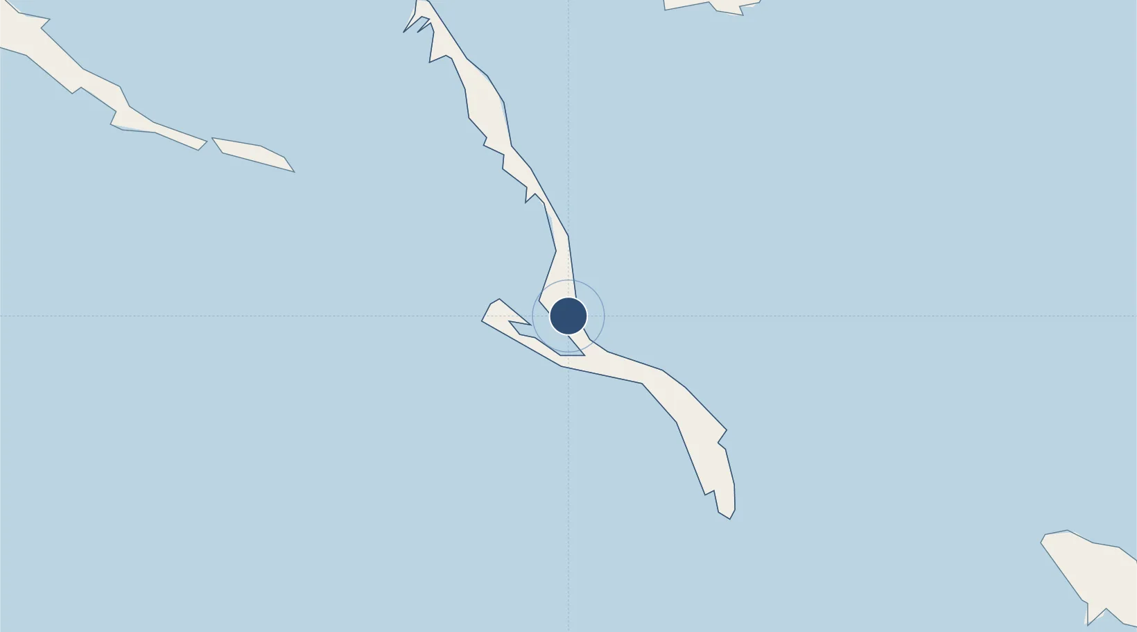
23.1790°, -75.0936°
4,000 ft
Longest runway
1
Runways
9 ft
Elevation
Runway & Layout

Runways · 1
| Runway | Dimensions | Surface | True heading | Lit |
|---|---|---|---|---|
| 09/27 | 4,000 × 100ft | Asphalt | 092° | — |
Airport Specifications
IATA code
LGI
ICAO code
MYLD
Airport class
Medium airport
Scheduled service
Yes
Runway surface
Asphalt
Served city
Deadman's Cay
Location
Nearby Logistics Neighbours
Airports
- 1Hard Bargain Airport27 km
- 2Stella Maris Airport48 km
- 3Exuma International Airport91 km
- 4Colonel Hill Airport105 km
- 5San Salvador International Airport114 km
Cities
- 1Stella Maris51 km
- 2Great Exuma Island85 km
- 3Cockburn Town112 km
- 4The Bight130 km
- 5Bock Cay130 km
Ports
- 1Cockburn112 km
- 2Vita248 km
- 3Puerto Padre258 km
- 4Banes260 km
- 5Manati268 km
Trade Zones
- 1Caracol Free Zone504 km
- 2FTZ de Trou du Nord507 km
- 3Freeport Bahamas518 km
- 4Grand Bahama International Airport522 km
- 5CODEVI Free Zone533 km
DatabookThe Record of Consolidated Knowledge
Bahamas beyond logistics?