Medium airport · Bahamas
Stella Maris AirportMYLS
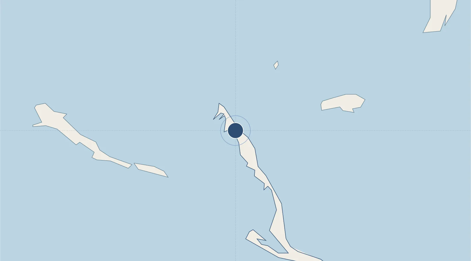
23.5823°, -75.2686°
4,000 ft
Longest runway
1
Runways
10 ft
Elevation
Runway & Layout

Radio Frequencies
UNIC
122.8 MHz
UNICOM
Navaids
ZLS NDB Stella Maris 526 kHz
Runways · 1
| Runway | Dimensions | Surface | True heading | Lit |
|---|---|---|---|---|
| 13/31 | 4,000 × 75ft | Asphalt | 123° | — |
Airport Specifications
IATA code
SML
ICAO code
MYLS
Airport class
Medium airport
Scheduled service
Yes
Runway surface
Asphalt
Served city
Stella Maris
Location
Nearby Logistics Neighbours
Airports
- 1Deadman's Cay Airport48 km
- 2Exuma International Airport62 km
- 3Hard Bargain Airport74 km
- 4New Bight Airport84 km
- 5San Salvador International Airport93 km
Cities
- 1Stella Maris4 km
- 2Great Exuma Island58 km
- 3The Bight83 km
- 4Cockburn Town92 km
- 5Bock Cay95 km
Ports
- 1Cockburn91 km
- 2Nassau269 km
- 3Clifton Pier280 km
- 4Vita285 km
- 5Puerto Padre287 km
Trade Zones
- 1Freeport Bahamas474 km
- 2Grand Bahama International Airport478 km
- 3Caracol Free Zone551 km
- 4FTZ de Trou du Nord554 km
- 5CODEVI Free Zone578 km
DatabookThe Record of Consolidated Knowledge
Bahamas beyond logistics?