Channel & Berth Profile
Pilotage, Tugs & Services
Pilotage compulsoryNO
Pilotage availableYES
Facilities & Capabilities
ContainerYES
Ro-RoYES
Liquid bulk—
Dry bulk—
Oil terminal—
Break bulkYES
Dry dock—
Repairs—
Bunkering—
Rail link—
Dangerous cargo—
ISPS securityYES
Harbour Specifications
Water body
North Atlantic Ocean
Pilotage
No
Liner Connectivity
7.6
PLSCI
Port Liner Shipping Connectivity Index for Providenciales, as published by UNCTAD for the latest available quarter. Higher values indicate stronger scheduled liner-shipping integration.
Shown relative to the highest per-port PLSCI in the dataset (1,657.9).
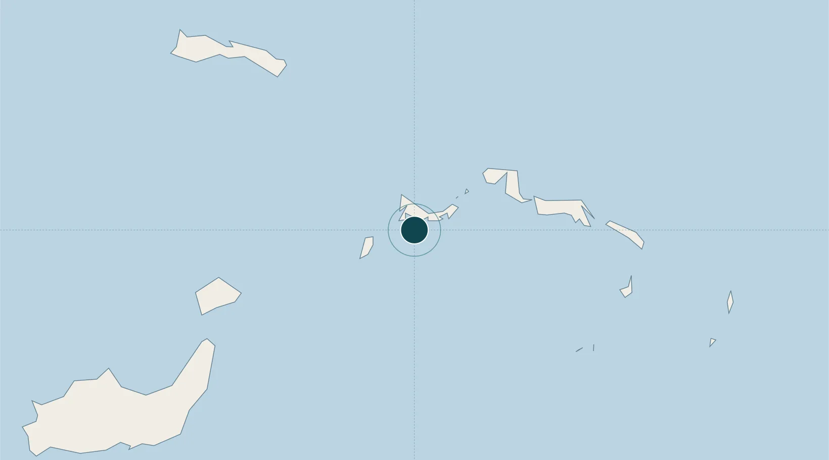
Location
Nearby Logistics Neighbours
Ports
- 1Cockburn Harbor82 km
- 2Grand Turk122 km
- 3Matthew Town169 km
- 4Cap Haitien219 km
- 5Manzanillo231 km
Cities
- 1Cockburn Harbour82 km
- 2Cap-Haïtien220 km
- 3Caracol230 km
- 4Manzanillo233 km
- 5Mao245 km
Airports
- 1Providenciales International Airport5 km
- 2North Caicos Airport41 km
- 3South Caicos Airport82 km
- 4Mayaguana Airport104 km
- 5Salt Cay Airport121 km
Trade Zones
- 1Zona Franca Industrial Tamboril (ZFT)221 km
- 2Caracol Free Zone232 km
- 3FTZ de Trou du Nord237 km
- 4Limestone Park247 km
- 5CODEVI Free Zone249 km
DatabookThe Record of Consolidated Knowledge
Turks & Caicos Islands beyond logistics?