Seaport · Cuba

VitaCUVIT

21.1000°, -75.9667°
Vita is also a UN/LOCODE logistics hub →

Channel & Berth Profile

SEA LEVEL (CD)CHANNEL BEDAnchorage · 9.0 m
NGA World Port Index

Pilotage, Tugs & Services

Pilotage compulsoryYES
Pilotage availableYES
Tug assistanceYES
NGA World Port Index

Facilities & Capabilities

Container
Ro-Ro
Liquid bulk
Dry bulkYES
Oil terminal
Break bulk
Dry dock
Repairs
Bunkering
Rail link
Dangerous cargo
ISPS securityYES
NGA World Port Index

Harbour Specifications
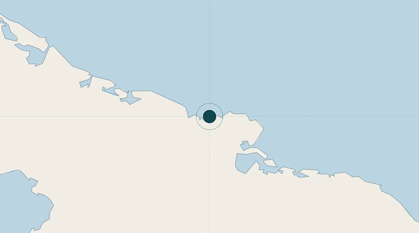
Water body
North Atlantic Ocean
NGA World Port Index
Tidal range
0.3 m
NGA World Port Index
Pilotage
Yes
NGA World Port Index

Location

Location of CUVIT
Natural Earth 10m (public domain) · Holguín · CUVIT · 21.10, -75.97GoogleOSMYandex

Nearby Logistics Neighbours

Ports
  1. 1Banes33 km
  2. 2Antilla38 km
  3. 3Preston50 km
  4. 4Felton56 km
  5. 5Nicaro61 km
Nearest neighbours — logibook spatial index (haversine) over the source coordinates
Cities
  1. 1Gibara17 km
  2. 2Banes30 km
  3. 3Pilón32 km
  4. 4Antilla32 km
  5. 5Puerto Padre67 km
Nearest neighbours — logibook spatial index (haversine) over the source coordinates
Airports
  1. 1Frank Pais International Airport50 km
  2. 2(Duplicate}Holguín Air Base51 km
  3. 3Hermanos Ameijeiras Airport101 km
  4. 4Carlos Manuel de Cespedes Airport104 km
  5. 5Orestes Acosta Airport119 km
Nearest neighbours — logibook spatial index (haversine) over the source coordinates
Trade Zones
  1. 158 HWT Tech Park355 km
  2. 2Kingston Free Zone358 km
  3. 3Caymanas Special Economic Zone358 km
  4. 4Kingston Wharves Terminal Special Economic Zone358 km
  5. 5Cazoumar Free Zone358 km
Nearest neighbours — logibook spatial index (haversine) over the source coordinates
DatabookThe Record of Consolidated Knowledge
Cuba beyond logistics?
Browse databook

All Sources

Portsthe NGA World Port Index
Public domain (US gov)
AirportsOurAirports
Public domain
LocationsUN/LOCODE
UN/LOCODE — free
Trade Zonesthe World Bank SEZ database
CC BY 4.0
Trade ZonesOpen Zone Map
CC BY
← Cuba ports