Transport Functions
Port
Road
Hub Profile
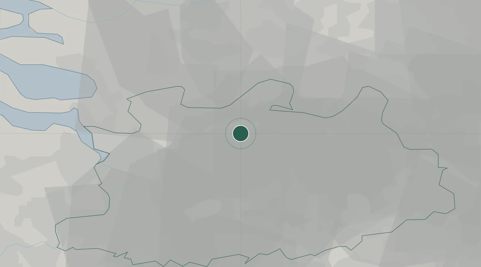
Place type
Populated place
Region
Flanders
Population
6,685
Time zone
Europe/Brussels
Elevation
24 m
Location
Nearby Logistics Neighbours
Cities
- 1Klein Veerle2 km
- 2Rijkevorsel6 km
- 3Loenhout7 km
- 4Sint-Job-in-'t-Goor10 km
- 5Meer12 km
Airports
- 1Antwerp International Airport (Deurne)23 km
- 2Woensdrecht Air Base26 km
- 3Gilze Rijen Air Base30 km
- 4Eindhoven Airport49 km
- 5Brussels Airport52 km
Trade Zones
- 1ZFU Condé sur lEscaut125 km
- 2ZFU Tourcoing127 km
- 3Rheinische Revier SWZ128 km
- 4ZFU Hem et Roubaix129 km
- 5ZFU Maubeuge, Louvroil132 km
DatabookThe Record of Consolidated Knowledge
Belgium beyond logistics?