Transport Functions
Port
Road
Hub Profile
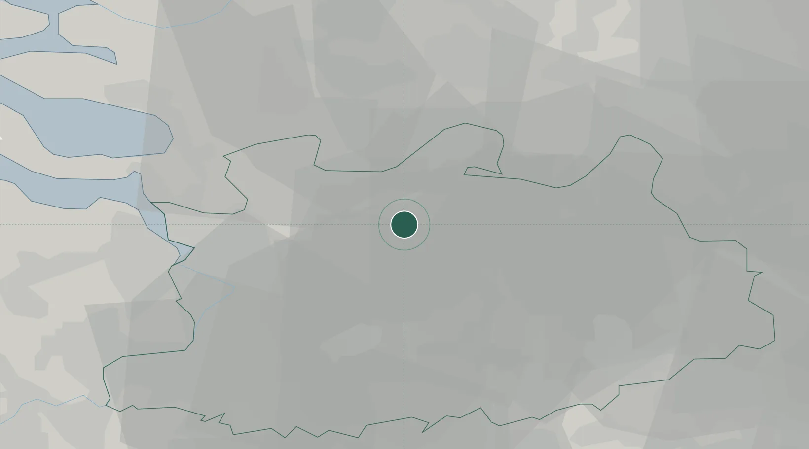
Place type
Populated place
Region
Flanders
Time zone
Europe/Brussels
Elevation
27 m
Location
Nearby Logistics Neighbours
Cities
- 1Sint-Lenaarts2 km
- 2Rijkevorsel7 km
- 3Loenhout8 km
- 4Sint-Job-in-'t-Goor8 km
- 5Schilde13 km
Airports
- 1Antwerp International Airport (Deurne)21 km
- 2Woensdrecht Air Base26 km
- 3Gilze Rijen Air Base32 km
- 4Brussels Airport50 km
- 5Eindhoven Airport51 km
Trade Zones
- 1ZFU Condé sur lEscaut123 km
- 2ZFU Tourcoing125 km
- 3ZFU Hem et Roubaix127 km
- 4Rheinische Revier SWZ129 km
- 5ZFU Maubeuge, Louvroil130 km
DatabookThe Record of Consolidated Knowledge
Belgium beyond logistics?