UN/LOCODE hub · Belgium
BESJG
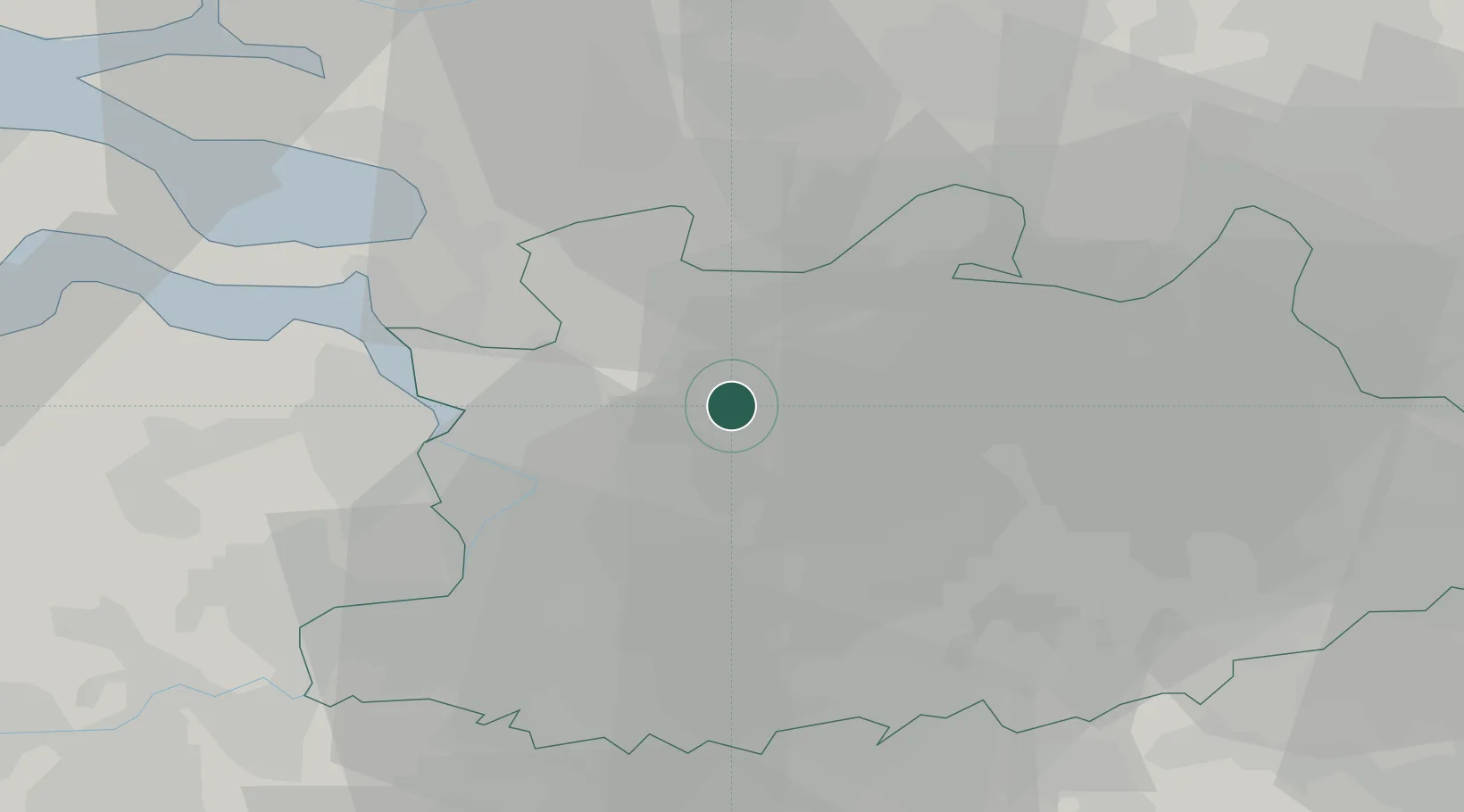
Sint-Job-in-'t-Goor
51.3000°, 4.5667°
8,515
Population
2
Transport functions
Transport Functions
Port
Road
Hub Profile
Place type
Populated place
Region
Flanders
Population
8,515
Time zone
Europe/Brussels
Elevation
18 m
Location
Nearby Logistics Neighbours
Cities
- 1Schoten7 km
- 2Schilde7 km
- 3Wijnegem8 km
- 4Klein Veerle8 km
- 5Oelegem9 km
Airports
- 1Antwerp International Airport (Deurne)14 km
- 2Woensdrecht Air Base23 km
- 3Gilze Rijen Air Base39 km
- 4Brussels Airport45 km
- 5Eindhoven Airport59 km
Trade Zones
- 1ZFU Condé sur lEscaut116 km
- 2ZFU Tourcoing118 km
- 3ZFU Hem et Roubaix119 km
- 4ZFU Maubeuge, Louvroil124 km
- 5ZFU de Lille et de Loos132 km
DatabookThe Record of Consolidated Knowledge
Belgium beyond logistics?