Transport Functions
Port
Rail
Road
Hub Profile
Place type
Populated place
Region
Flanders
Population
40,930
Time zone
Europe/Brussels
Elevation
39 m
Logistics facilities
1
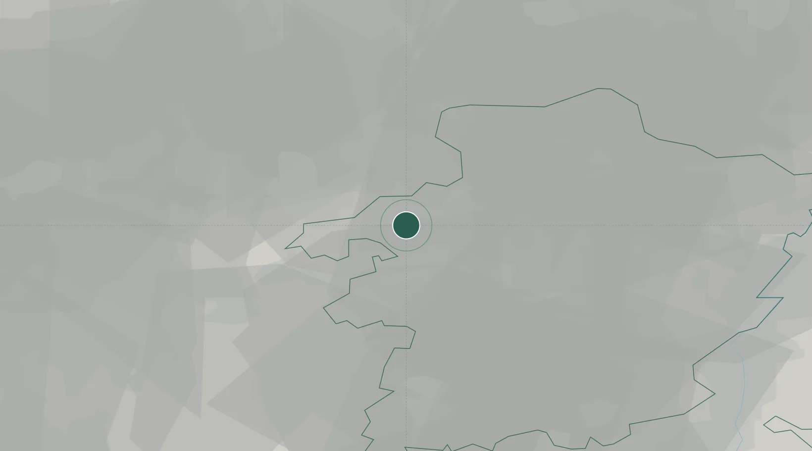
Location
Nearby Logistics Neighbours
Cities
- 1Beverlo2 km
- 2Kwaadmechelen4 km
- 3Paal5 km
- 4Hamsehoeven5 km
- 5Tessenderlo6 km
Airports
- 1Kleine Brogel Air Base23 km
- 2Kempen Airport Budel36 km
- 3Eindhoven Airport44 km
- 4Beauvechain Air Base45 km
- 5Maastricht Aachen Airport46 km
Trade Zones
- 1Rheinische Revier SWZ87 km
- 2Freeport of Duisburg107 km
- 3ZFU Maubeuge, Louvroil126 km
- 4ZFU Condé sur lEscaut131 km
- 5ZFU Tourcoing146 km
DatabookThe Record of Consolidated Knowledge
Belgium beyond logistics?