Transport Functions
Port
Road
Hub Profile
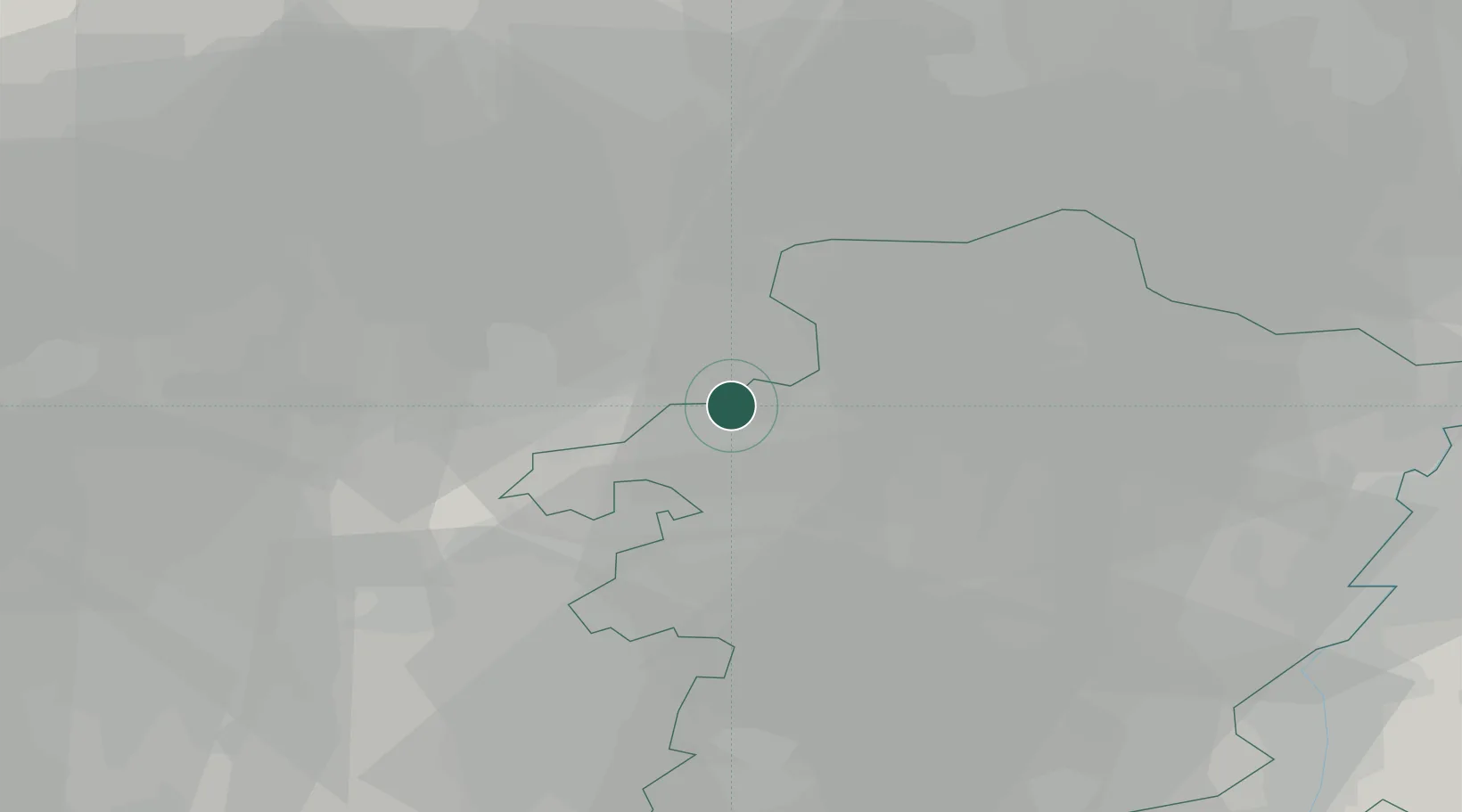
Place type
Populated place
Region
Flanders
Time zone
Europe/Brussels
Elevation
37 m
Location
Nearby Logistics Neighbours
Cities
- 1Beverlo4 km
- 2Kwaadmechelen4 km
- 3Leopoldsburg5 km
- 4Beringen5 km
- 5Balen6 km
Airports
- 1Kleine Brogel Air Base21 km
- 2Kempen Airport Budel33 km
- 3Eindhoven Airport39 km
- 4Maastricht Aachen Airport47 km
- 5Beauvechain Air Base49 km
Trade Zones
- 1Rheinische Revier SWZ87 km
- 2Freeport of Duisburg104 km
- 3ZFU Maubeuge, Louvroil130 km
- 4ZFU Condé sur lEscaut134 km
- 5ZFU Tourcoing149 km
DatabookThe Record of Consolidated Knowledge
Belgium beyond logistics?