Medium airport · Belgium
Beauvechain Air BaseEBBE
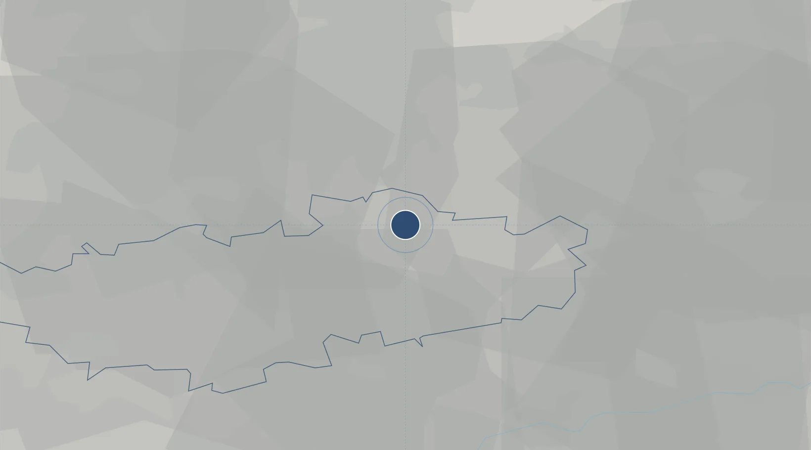
50.7586°, 4.7683°
10,085 ft
Longest runway
2
Runways
370 ft
Elevation
Runway & Layout

Radio Frequencies
TWR
122.1 MHz
GND
122.1 MHz
APP
122.5 MHz
Combined MIL Approach
APP
122.825 MHz
GCA
123.3 MHz
Navaids
BBE TACAN Beauvechain 116.00 MHz
HUL VOR-DME Huldenberg 117.55 MHz
Runways · 2
| Runway | Dimensions | Surface | True heading | Lit |
|---|---|---|---|---|
| 04L/22R | 10,085 × 148ft | Asphalt | 039° | ✓ |
| 04R/22L | 8,038 × 74ft | Asphalt | 039° | ✓ |
Airport Specifications
ICAO code
EBBE
Airport class
Medium airport
Scheduled service
No
Runway surface
Asphalt
Served city
Beauvechain
Location
Nearby Logistics Neighbours
Airports
- 1Brussels Airport26 km
- 2Brussels South Charleroi Airport40 km
- 3Liège Airport49 km
- 4Antwerp International Airport (Deurne)53 km
- 5Florennes Air Base58 km
Cities
- 1Archennes7 km
- 2Wavre12 km
- 3Bierges13 km
- 4Linden14 km
- 5Tourinnes-St-Lambert14 km
Trade Zones
- 1ZFU Maubeuge, Louvroil81 km
- 2ZFU Condé sur lEscaut90 km
- 3ZFU Denain, Douchy-les-Mines, Escaudain et Lourches110 km
- 4ZFU Ronde Couture113 km
- 5ZFU Hem et Roubaix113 km
DatabookThe Record of Consolidated Knowledge
Belgium beyond logistics?