Large airport · Netherlands

Maastricht Aachen AirportEHBK
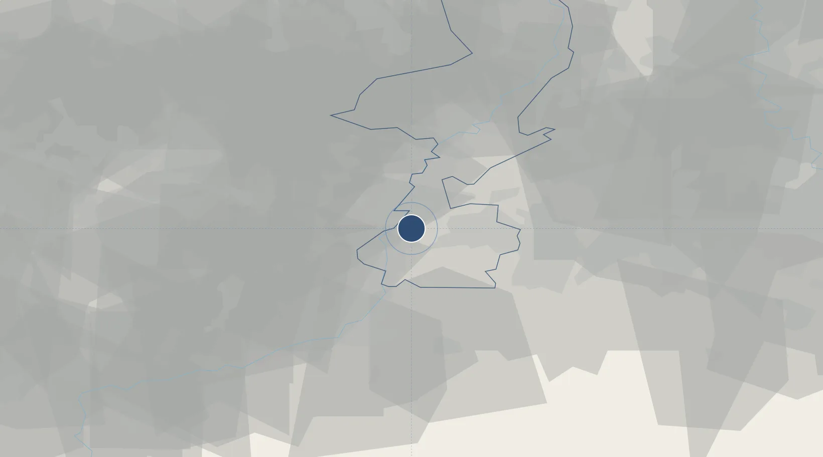
50.9111°, 5.7694°
9,022 ft
Longest runway
1
Runways
375 ft
Elevation

Runway & Layout

Maastricht Aachen Airport runway & taxiway layout
Runway & taxiway layout — OpenStreetMap (ODbL) / OurAirports

Radio Frequencies

ATIS
124.58 MHz
TWR
119.48 MHz
BEEK Tower
GND
121.83 MHz
Beek Clearance Delivery/ GND
APP
120.205 MHz
BEEK Approach
FIS
132.35 MHz
Dutch MIL Info
OurAirports

Navaids

MAS VOR-DME Maastricht 108.60 MHz
NW NDB Maastricht 373 kHz
OurAirports

Runways · 1

RunwayDimensions SurfaceTrue headingLit
03/21 9,022 × 148ft Asphalt 030°
OurAirports

Airport Specifications

IATA code
MST
OurAirports
ICAO code
EHBK
OurAirports
Airport class
Large airport
OurAirports
Scheduled service
Yes
OurAirports
Runway surface
Asphalt
OurAirports
Served city
Maastricht
OurAirports

Location

Location of EHBK
Natural Earth 10m (public domain) · Limburg · EHBK · 50.91, 5.77GoogleOSMYandex

Nearby Logistics Neighbours

Airports
  1. 1Geilenkirchen Air Base20 km
  2. 2Kleine Brogel Air Base35 km
  3. 3Liège Airport38 km
  4. 4Kempen Airport Budel40 km
  5. 5Mönchengladbach Airport62 km
Nearest neighbours — logibook spatial index (haversine) over the source coordinates
Cities
  1. 1Uikhoven3 km
  2. 2Geulle3 km
  3. 3Meerssen3 km
  4. 4Bunde4 km
  5. 5Boorsem4 km
Nearest neighbours — logibook spatial index (haversine) over the source coordinates
Ports
  1. 1Bruxelles100 km
  2. 2Antwerpen102 km
  3. 3Dordrecht127 km
  4. 4Hansweert137 km
  5. 5Rotterdam142 km
Nearest neighbours — logibook spatial index (haversine) over the source coordinates
Trade Zones
  1. 1Rheinische Revier SWZ43 km
  2. 2Freeport of Duisburg83 km
  3. 3Luxembourg Free Port145 km
  4. 4ZFU Maubeuge, Louvroil148 km
  5. 5ZFU Ronde Couture149 km
Nearest neighbours — logibook spatial index (haversine) over the source coordinates
DatabookThe Record of Consolidated Knowledge
Netherlands beyond logistics?
Browse databook

All Sources

AirportsOurAirports
Public domain
Portsthe NGA World Port Index
Public domain (US gov)
LocationsUN/LOCODE
UN/LOCODE — free
Trade Zonesthe World Bank SEZ database
CC BY 4.0
Trade ZonesOpen Zone Map
CC BY
InfrastructureOpenStreetMap
ODbL 1.0
← Netherlands airports