Transport Functions
Port
Road
Hub Profile
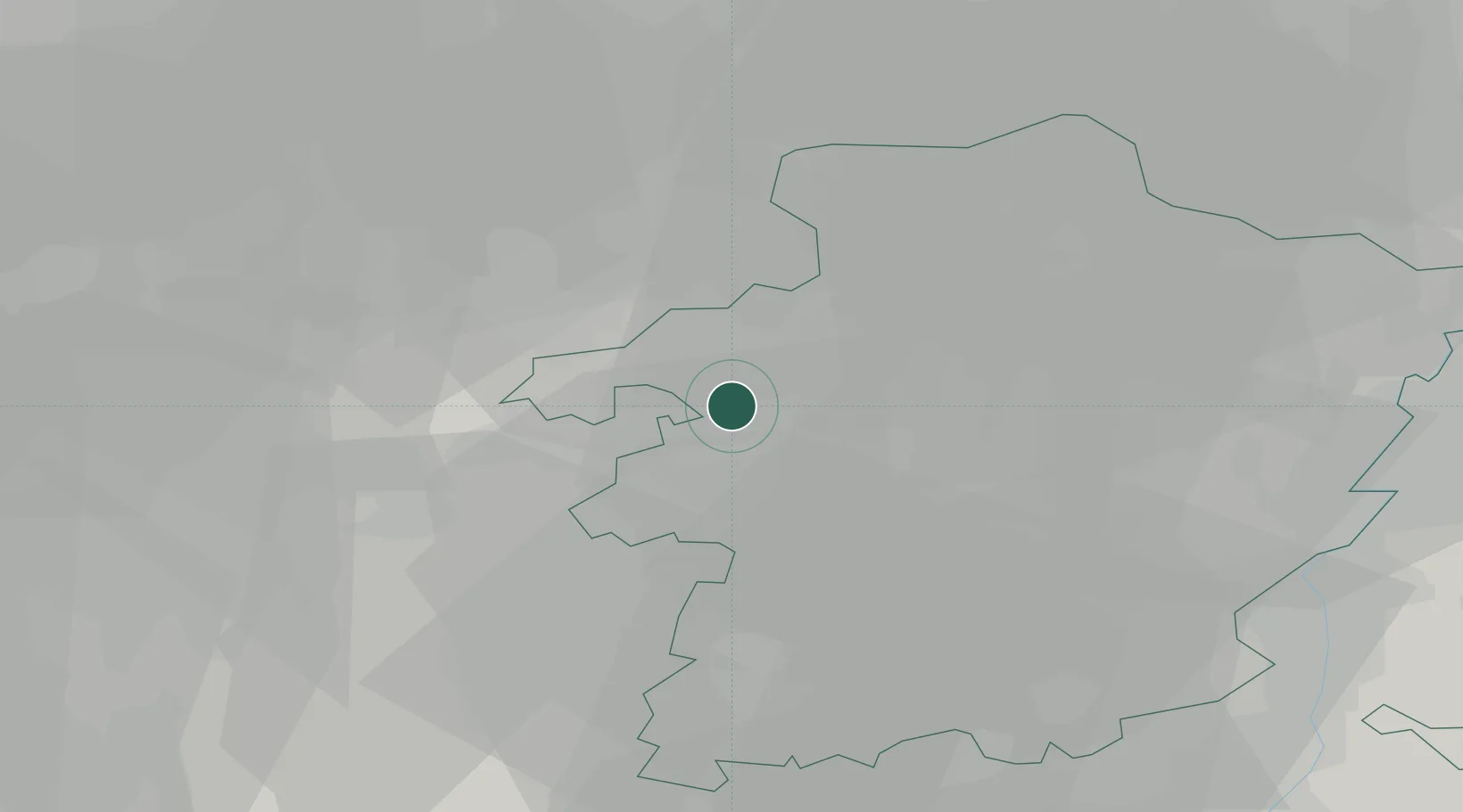
Place type
Populated place
Region
Flanders
Population
11,935
Time zone
Europe/Brussels
Elevation
39 m
Location
Nearby Logistics Neighbours
Cities
- 1Genenbos4 km
- 2Beringen5 km
- 3Beverlo6 km
- 4Lummen6 km
- 5Tessenderlo8 km
Airports
- 1Kleine Brogel Air Base25 km
- 2Kempen Airport Budel38 km
- 3Beauvechain Air Base42 km
- 4Maastricht Aachen Airport43 km
- 5Liège Airport48 km
Trade Zones
- 1Rheinische Revier SWZ85 km
- 2Freeport of Duisburg108 km
- 3ZFU Maubeuge, Louvroil123 km
- 4ZFU Condé sur lEscaut130 km
- 5ZFU Tourcoing146 km
DatabookThe Record of Consolidated Knowledge
Belgium beyond logistics?