Transport Functions
Port
Road
Hub Profile
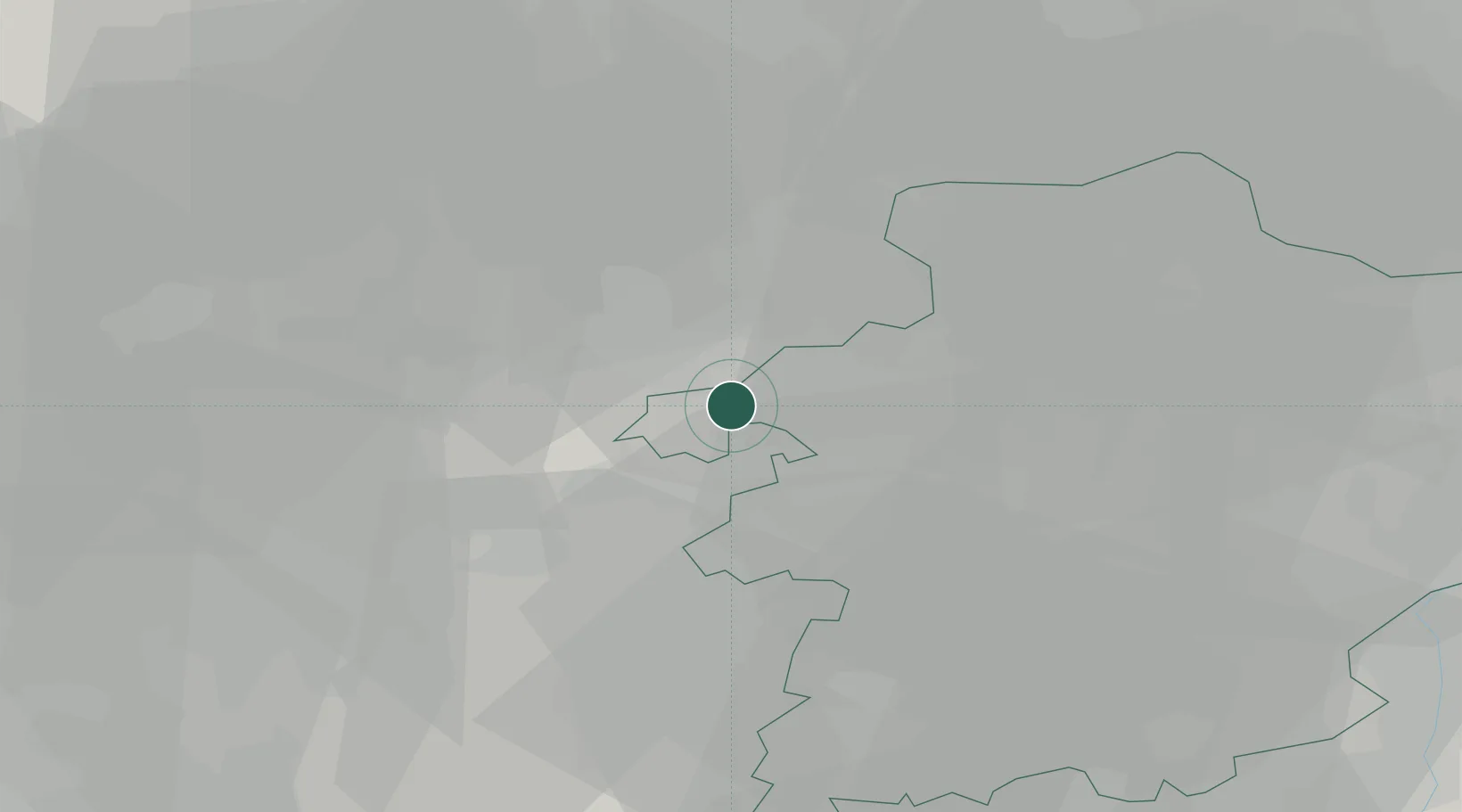
Place type
Populated place
Region
Flanders
Population
16,574
Time zone
Europe/Brussels
Elevation
27 m
Location
Nearby Logistics Neighbours
Cities
- 1Meerhout4 km
- 2Kwaadmechelen5 km
- 3Beringen6 km
- 4Geel7 km
- 5Eindhout7 km
Airports
- 1Kleine Brogel Air Base29 km
- 2Beauvechain Air Base41 km
- 3Kempen Airport Budel42 km
- 4Antwerp International Airport (Deurne)45 km
- 5Brussels Airport46 km
Trade Zones
- 1Rheinische Revier SWZ93 km
- 2Freeport of Duisburg113 km
- 3ZFU Maubeuge, Louvroil121 km
- 4ZFU Condé sur lEscaut125 km
- 5ZFU Tourcoing140 km
DatabookThe Record of Consolidated Knowledge
Belgium beyond logistics?