Transport Functions
Port
Road
Hub Profile
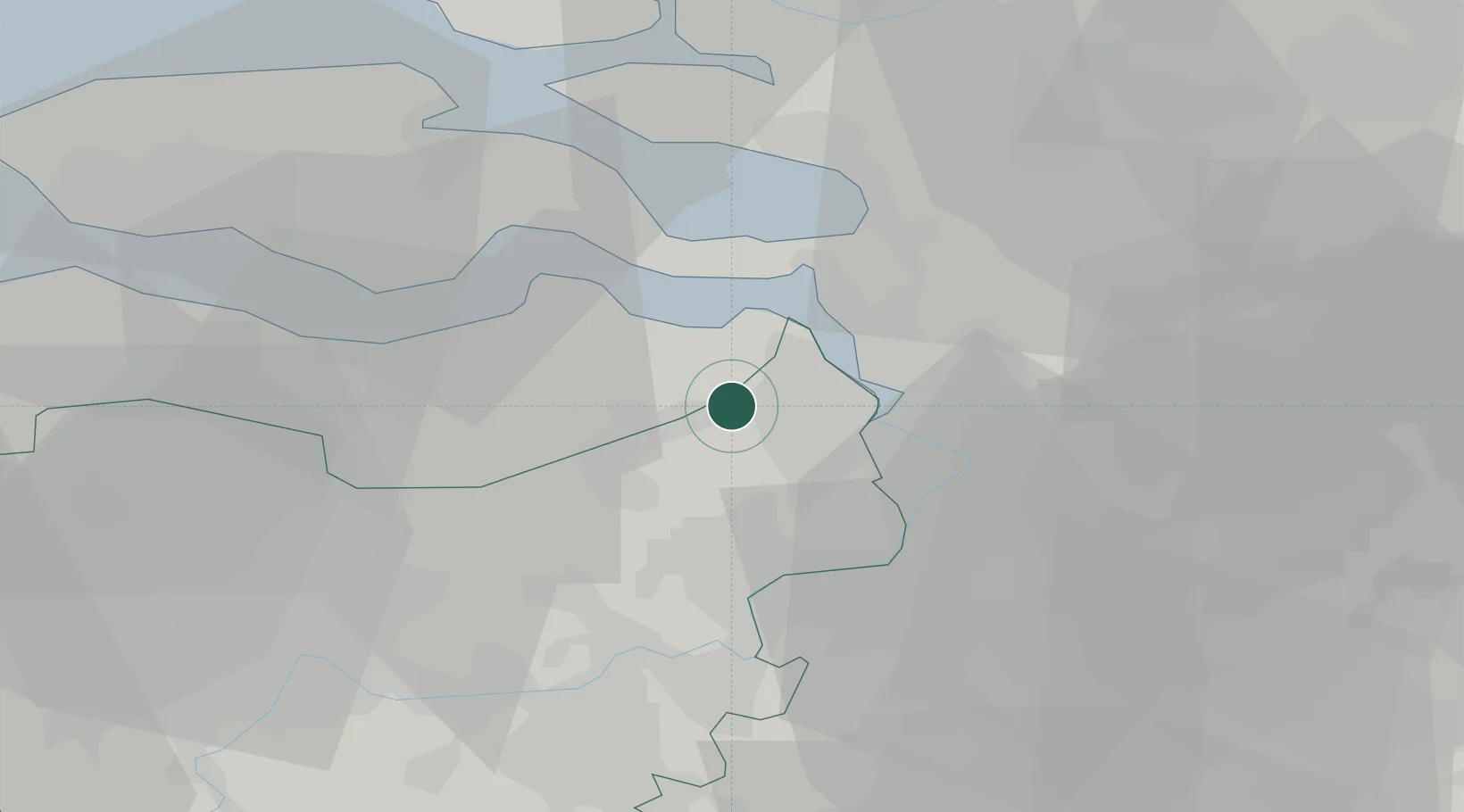
Place type
Populated place
Region
Flanders
Population
3,981
Time zone
Europe/Brussels
Elevation
3 m
Location
Nearby Logistics Neighbours
Cities
- 1De Klinge6 km
- 2Beveren-Waas6 km
- 3Kallo7 km
- 4Doel8 km
- 5Lillo10 km
Ports
- 1Antwerpen18 km
- 2Hansweert22 km
- 3Terneuzen25 km
- 4Ghent39 km
- 5Vlissingen44 km
Airports
- 1Woensdrecht Air Base22 km
- 2Antwerp International Airport (Deurne)23 km
- 3Brussels Airport48 km
- 4Gilze Rijen Air Base62 km
- 5Beauvechain Air Base72 km
Trade Zones
- 1ZFU Tourcoing94 km
- 2ZFU Hem et Roubaix96 km
- 3ZFU Condé sur lEscaut100 km
- 4ZFU de Lille et de Loos109 km
- 5ZFU Maubeuge, Louvroil115 km
DatabookThe Record of Consolidated Knowledge
Belgium beyond logistics?