Transport Functions
Rail
Road
Hub Profile
Place type
Populated place
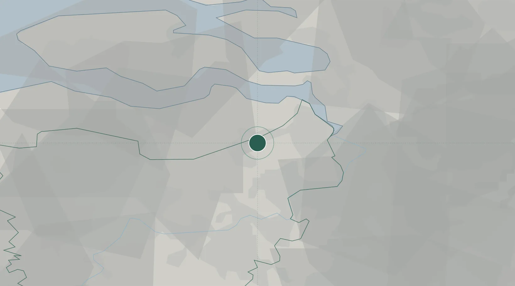
Region
Flanders
Population
3,796
Time zone
Europe/Brussels
Elevation
6 m
Location
Nearby Logistics Neighbours
Cities
- 1Kieldrecht6 km
- 2Sint Gillis Waas8 km
- 3Beveren-Waas10 km
- 4Kallo12 km
- 5Hengstdijk13 km
Ports
- 1Antwerpen21 km
- 2Terneuzen23 km
- 3Hansweert23 km
- 4Ghent33 km
- 5Vlissingen41 km
Airports
- 1Antwerp International Airport (Deurne)26 km
- 2Woensdrecht Air Base28 km
- 3Brussels Airport47 km
- 4Gilze Rijen Air Base68 km
- 5Beauvechain Air Base72 km
Trade Zones
- 1ZFU Tourcoing88 km
- 2ZFU Hem et Roubaix90 km
- 3ZFU Condé sur lEscaut95 km
- 4ZFU de Lille et de Loos103 km
- 5ZFU Maubeuge, Louvroil111 km
DatabookThe Record of Consolidated Knowledge
Belgium beyond logistics?