UN/LOCODE hub · Belgium
BEBWS

Beveren-Waas

51.2543°, 4.2446°
3
Transport functions

Transport Functions

Rail
Road
Multimodal
UN/LOCODE

Hub Profile

Region
VOV
GeoNames
Logistics facilities
1
UN/LOCODE

Location

Location of BEBWS
Natural Earth 10m (public domain) · VOV · BEBWS · 51.25, 4.24GoogleOSMYandex

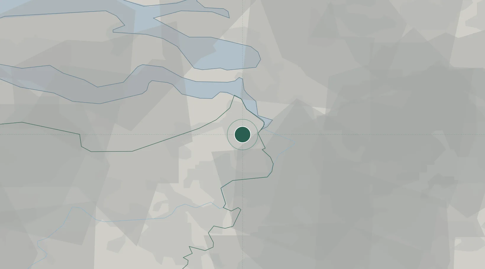
Nearby Logistics Neighbours

Cities
  1. 1Kallo4 km
  2. 2Kieldrecht6 km
  3. 3Lillo6 km
  4. 4Antwerp Churchill Terminal7 km
  5. 5Antwerpen7 km
Nearest neighbours — logibook spatial index (haversine) over the source coordinates
Ports
  1. 1Antwerpen12 km
  2. 2Hansweert28 km
  3. 3Terneuzen32 km
  4. 4Ghent41 km
  5. 5Bruxelles44 km
Nearest neighbours — logibook spatial index (haversine) over the source coordinates
Airports
  1. 1Antwerp International Airport (Deurne)17 km
  2. 2Woensdrecht Air Base23 km
  3. 3Brussels Airport43 km
  4. 4Gilze Rijen Air Base59 km
  5. 5Beauvechain Air Base66 km
Nearest neighbours — logibook spatial index (haversine) over the source coordinates
Trade Zones
  1. 1ZFU Tourcoing96 km
  2. 2ZFU Hem et Roubaix98 km
  3. 3ZFU Condé sur lEscaut99 km
  4. 4ZFU de Lille et de Loos111 km
  5. 5ZFU Maubeuge, Louvroil113 km
Nearest neighbours — logibook spatial index (haversine) over the source coordinates
DatabookThe Record of Consolidated Knowledge
Belgium beyond logistics?
Browse databook

All Sources

LocationsUN/LOCODE
UN/LOCODE — free
Portsthe NGA World Port Index
Public domain (US gov)
AirportsOurAirports
Public domain
Trade Zonesthe World Bank SEZ database
CC BY 4.0
Trade ZonesOpen Zone Map
CC BY
← Belgium locations