Transport Functions
Multimodal
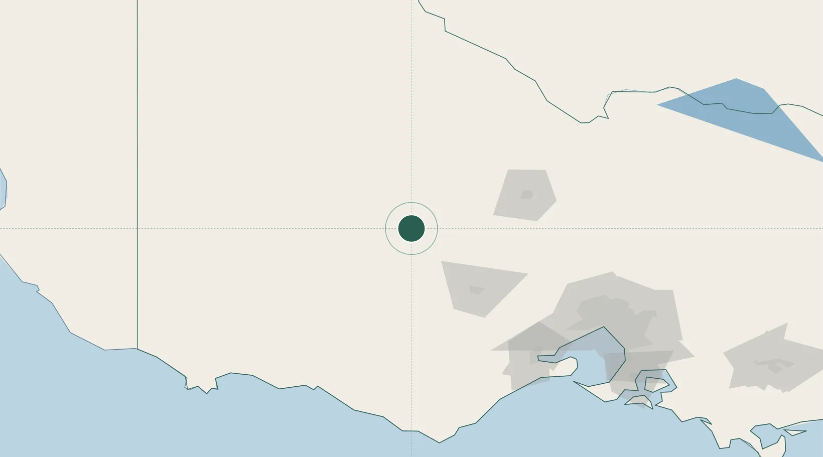
Hub Profile
Place type
Populated place
Region
Victoria
Population
17
Time zone
Australia/Melbourne
Elevation
315 m
Location
Nearby Logistics Neighbours
Cities
- 1Pyrenees17 km
- 2Bayindeen34 km
- 3Great Western42 km
- 4Willaura62 km
- 5Maryborough65 km
Ports
- 1Geelong156 km
- 2Warrnambool168 km
- 3Melbourne172 km
- 4Portland208 km
- 5Western Port224 km
Airports
- 1Ararat Airport41 km
- 2Stawell Airport50 km
- 3Bendigo Airport97 km
- 4Horsham Airport108 km
- 5Warracknabeal Airport112 km
Trade Zones
DatabookThe Record of Consolidated Knowledge
Australia beyond logistics?