Small airport · Australia
Bendigo AirportYBDG
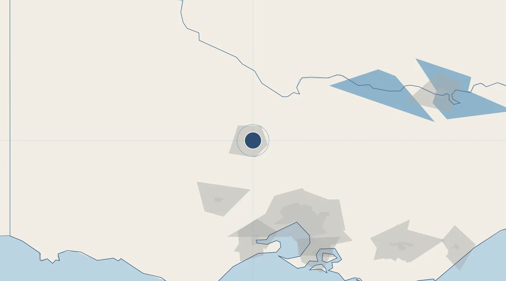
-36.7394°, 144.3300°
5,249 ft
Longest runway
2
Runways
705 ft
Elevation
Runway & Layout

Radio Frequencies
CTAF
119.3 MHz
AWIS
128.15 MHz
Bendigo auto-weather
FSS
126.8 MHz
MELBOURNE CNTR
Navaids
BDG NDB Bendigo 245 kHz
Runways · 2
| Runway | Dimensions | Surface | True heading | Lit |
|---|---|---|---|---|
| 17/35 | 5,249 × 98ft | Asphalt | 182° | ✓ |
| 05/23 | 2,516 × 60ft | paved | 061° | — |
Airport Specifications
IATA code
BXG
ICAO code
YBDG
Airport class
Small airport
Scheduled service
Yes
Runway surface
Asphalt
Location
Nearby Logistics Neighbours
Airports
- 1Echuca Airport75 km
- 2Shepparton Airport101 km
- 3Melbourne Airport113 km
- 4Kerang Airport115 km
- 5Melbourne Essendon Airport121 km
Cities
- 1Lockwood19 km
- 2Castlemaine36 km
- 3Bridgewater-on-Loddon37 km
- 4Heathcote40 km
- 5Colbinabbin43 km
Ports
- 1Melbourne134 km
- 2Geelong157 km
- 3Western Port196 km
- 4Warrnambool246 km
- 5Welshpool288 km
Trade Zones
DatabookThe Record of Consolidated Knowledge
Australia beyond logistics?