Transport Functions
Rail
Road
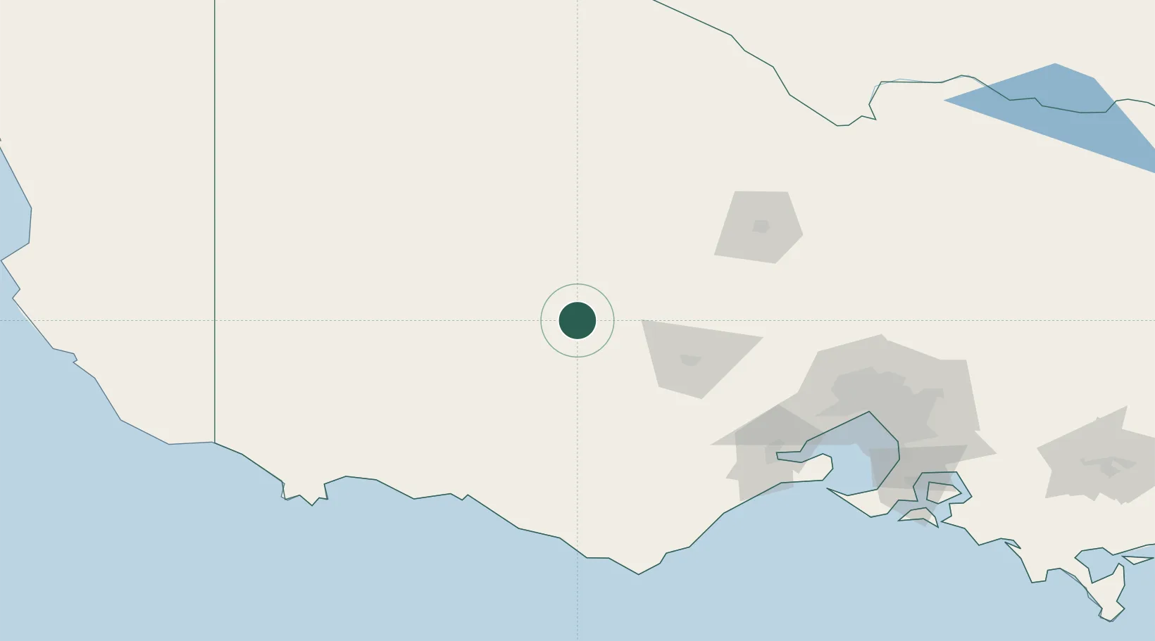
Hub Profile
Place type
Populated place
Region
Victoria
Population
18
Time zone
Australia/Melbourne
Elevation
350 m
Location
Nearby Logistics Neighbours
Cities
- 1Great Western34 km
- 2Warrenmang34 km
- 3Willaura38 km
- 4Pyrenees38 km
- 5Pittong48 km
Ports
- 1Warrnambool135 km
- 2Geelong140 km
- 3Melbourne169 km
- 4Portland178 km
- 5Western Port215 km
Airports
- 1Ararat Airport16 km
- 2Stawell Airport47 km
- 3Hamilton Airport104 km
- 4Horsham Airport114 km
- 5Bendigo Airport122 km
Trade Zones
DatabookThe Record of Consolidated Knowledge
Australia beyond logistics?