Transport Functions
Multimodal
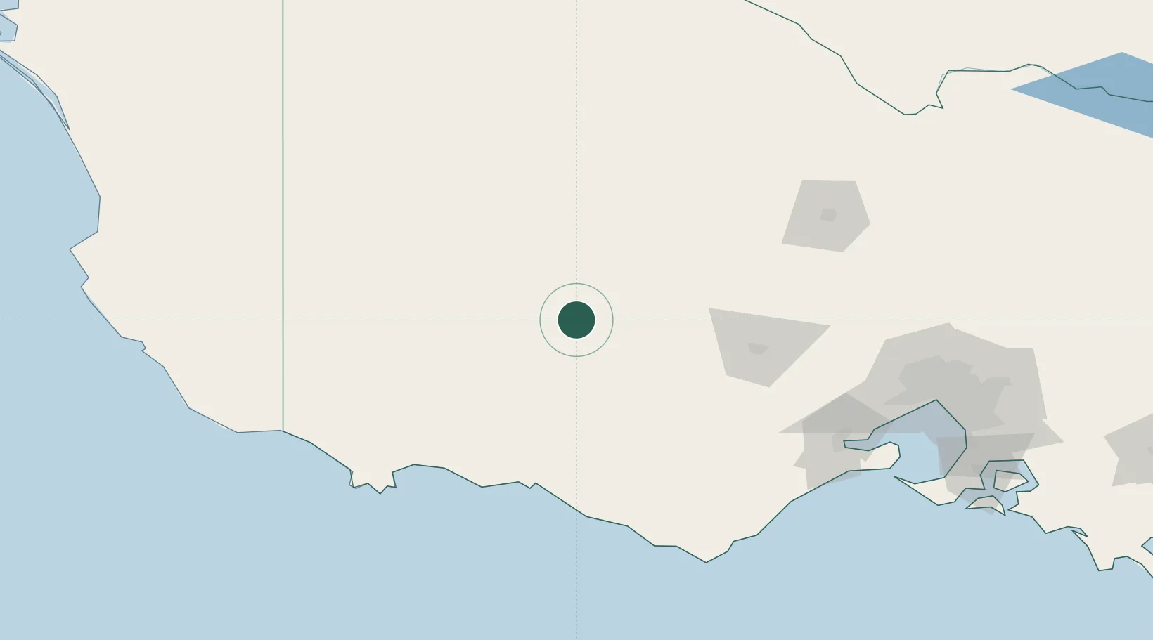
Hub Profile
Place type
Populated place
Region
Victoria
Population
524
Time zone
Australia/Melbourne
Elevation
252 m
Location
Nearby Logistics Neighbours
Cities
- 1Great Western27 km
- 2Bayindeen38 km
- 3Tarrington48 km
- 4Warrenmang62 km
- 5Croxton69 km
Ports
- 1Warrnambool115 km
- 2Portland146 km
- 3Geelong166 km
- 4Melbourne202 km
- 5Western Port243 km
Airports
- 1Ararat Airport23 km
- 2Stawell Airport35 km
- 3Hamilton Airport67 km
- 4Horsham Airport94 km
- 5Warracknabeal Airport122 km
Trade Zones
DatabookThe Record of Consolidated Knowledge
Australia beyond logistics?