Medium airport · Australia
Horsham AirportYHSM
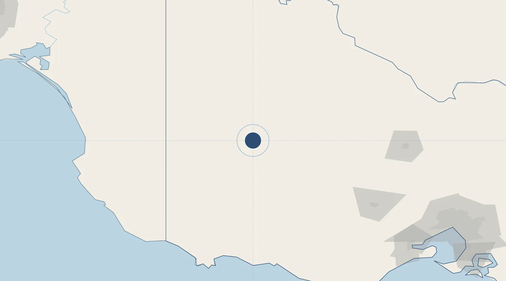
-36.6697°, 142.1730°
4,337 ft
Longest runway
2
Runways
445 ft
Elevation
Runway & Layout

Radio Frequencies
FSS
125.8 MHz
MELBOURNE CNTR
UNIC
118.8 MHz
CTAF/UNICOM
Navaids
HSM NDB Horsham 401 kHz
Runways · 2
| Runway | Dimensions | Surface | True heading | Lit |
|---|---|---|---|---|
| 08/26 | 4,337 × 98ft | Asphalt | 090° | ✓ |
| 17/35 | 2,621 × 60ft | Sand | 180° | — |
Airport Specifications
IATA code
HSM
ICAO code
YHSM
Airport class
Medium airport
Scheduled service
No
Runway surface
Asphalt
Location
Nearby Logistics Neighbours
Airports
- 1Warracknabeal Airport45 km
- 2Stawell Airport68 km
- 3Ararat Airport102 km
- 4Hopetoun Airport107 km
- 5Hamilton Airport109 km
Cities
- 1Great Western81 km
- 2Willaura94 km
- 3Warrenmang108 km
- 4Binnum111 km
- 5Bayindeen114 km
Ports
- 1Portland192 km
- 2Warrnambool194 km
- 3Geelong254 km
- 4Melbourne279 km
- 5Western Port328 km
Trade Zones
DatabookThe Record of Consolidated Knowledge
Australia beyond logistics?