UN/LOCODE hub · Australia
AUGTW
Great Western
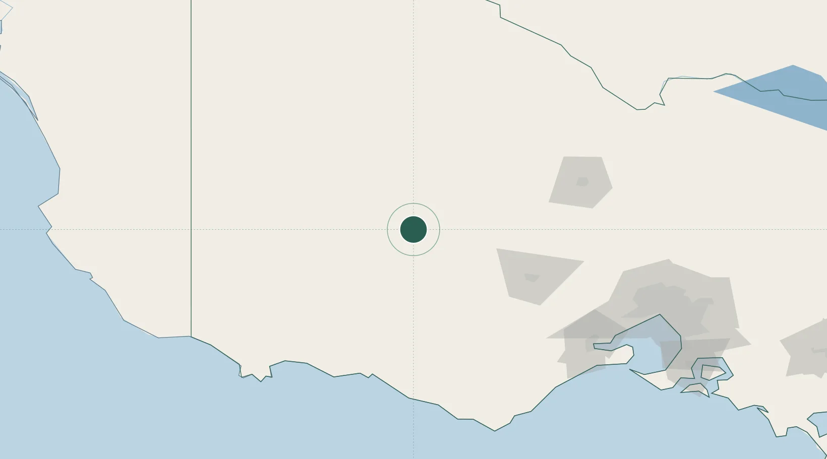
-37.1500°, 142.8500°
392
Population
2
Transport functions
Transport Functions
Port
Multimodal
Hub Profile
Place type
Populated place
Region
Victoria
Population
392
Time zone
Australia/Melbourne
Elevation
241 m
Location
Nearby Logistics Neighbours
Cities
- 1Willaura27 km
- 2Bayindeen34 km
- 3Warrenmang42 km
- 4Pyrenees57 km
- 5Tarrington70 km
Ports
- 1Warrnambool143 km
- 2Portland171 km
- 3Geelong174 km
- 4Melbourne202 km
- 5Western Port248 km
Airports
- 1Stawell Airport13 km
- 2Ararat Airport22 km
- 3Horsham Airport81 km
- 4Hamilton Airport89 km
- 5Warracknabeal Airport100 km
Trade Zones
DatabookThe Record of Consolidated Knowledge
Australia beyond logistics?