UN/LOCODE hub · Australia
AUPYE

Pyrenees

-37.0833°, 143.4833°
2
Transport functions

Transport Functions

Port
Multimodal
UN/LOCODE

Hub Profile

Region
VIC
GeoNames

Location

Location of AUPYE
Natural Earth 10m (public domain) · VIC · AUPYE · -37.08, 143.48GoogleOSMYandex

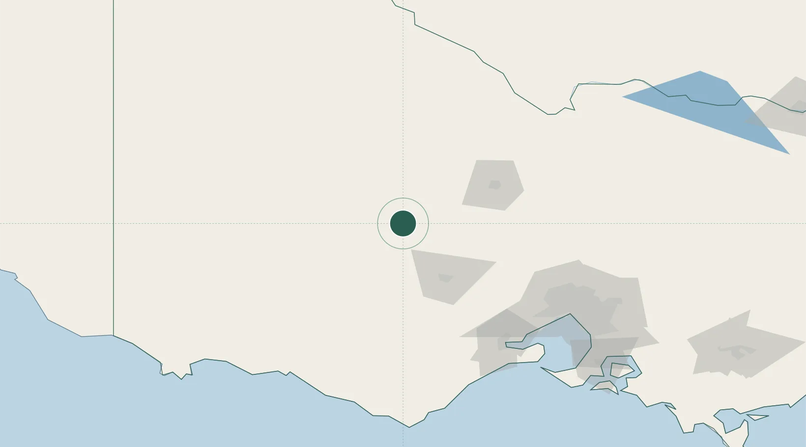
Nearby Logistics Neighbours

Cities
  1. 1Warrenmang17 km
  2. 2Bayindeen38 km
  3. 3Maryborough52 km
  4. 4Great Western57 km
  5. 5Pittong65 km
Nearest neighbours — logibook spatial index (haversine) over the source coordinates
Ports
  1. 1Geelong142 km
  2. 2Melbourne155 km
  3. 3Warrnambool171 km
  4. 4Western Port209 km
  5. 5Portland216 km
Nearest neighbours — logibook spatial index (haversine) over the source coordinates
Airports
  1. 1Ararat Airport51 km
  2. 2Stawell Airport66 km
  3. 3Bendigo Airport84 km
  4. 4Horsham Airport125 km
  5. 5Warracknabeal Airport127 km
Nearest neighbours — logibook spatial index (haversine) over the source coordinates
Trade Zones
  1. 1Latrobe Valley Economic Growth Zone286 km
  2. 2Paga Hill Estate Special Economic Zone3091 km
  3. 3Ihu Special Economic Zone3251 km
  4. 4Vanuatu Economic Development Zone3347 km
  5. 5Western Province Special Economic Zone3372 km
Nearest neighbours — logibook spatial index (haversine) over the source coordinates
DatabookThe Record of Consolidated Knowledge
Australia beyond logistics?
Browse databook

All Sources

LocationsUN/LOCODE
UN/LOCODE — free
Portsthe NGA World Port Index
Public domain (US gov)
AirportsOurAirports
Public domain
Trade Zonesthe World Bank SEZ database
CC BY 4.0
Trade ZonesOpen Zone Map
CC BY
← Australia locations