Medium airport · Australia
Ararat AirportYARA
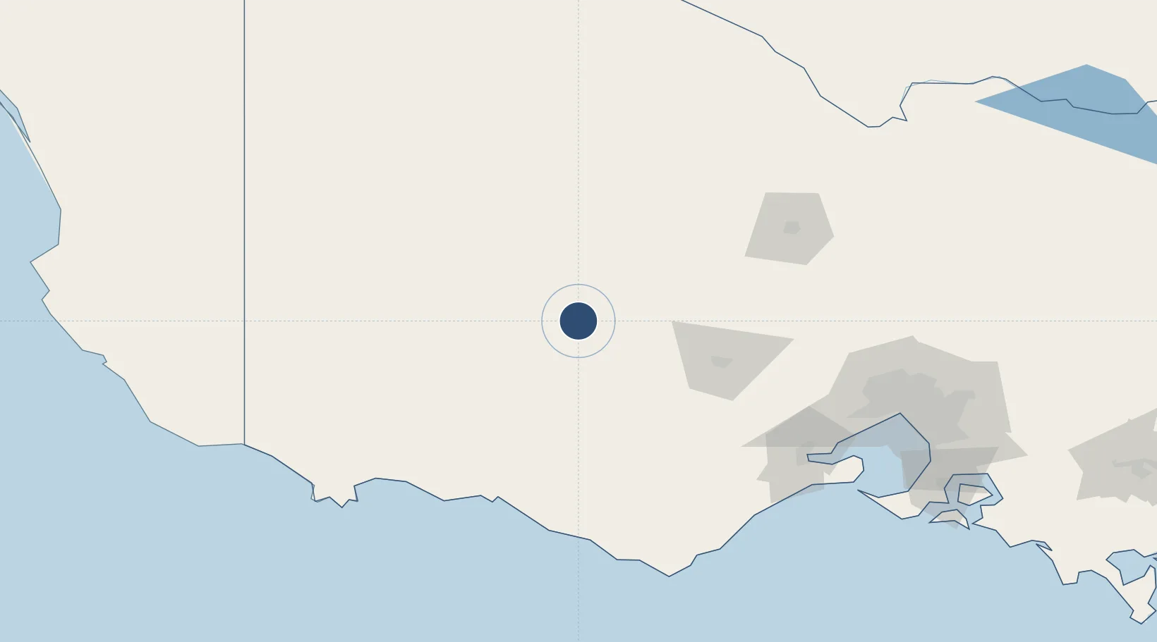
-37.3100°, 142.9887°
4,068 ft
Longest runway
2
Runways
1,008 ft
Elevation
Runway & Layout

Radio Frequencies
CTAF
126.7 MHz
FSS
126.8 MHz
MELBOURNE CNTR
Runways · 2
| Runway | Dimensions | Surface | True heading | Lit |
|---|---|---|---|---|
| 12/30 | 4,068 × 60ft | Asphalt | 125° | ✓ |
| 04/22 | 2,165 × 98ft | Grass | 055° | — |
Airport Specifications
IATA code
ARY
ICAO code
YARA
Airport class
Medium airport
Scheduled service
No
Runway surface
Asphalt
Served city
Ararat
Location
Nearby Logistics Neighbours
Airports
- 1Stawell Airport34 km
- 2Hamilton Airport90 km
- 3Horsham Airport102 km
- 4Warracknabeal Airport121 km
- 5Bendigo Airport135 km
Cities
- 1Bayindeen16 km
- 2Great Western22 km
- 3Willaura23 km
- 4Warrenmang41 km
- 5Pyrenees51 km
Ports
- 1Warrnambool129 km
- 2Geelong153 km
- 3Portland167 km
- 4Melbourne184 km
- 5Western Port229 km
Trade Zones
DatabookThe Record of Consolidated Knowledge
Australia beyond logistics?