Medium airport · Australia
Stawell AirportYSWL
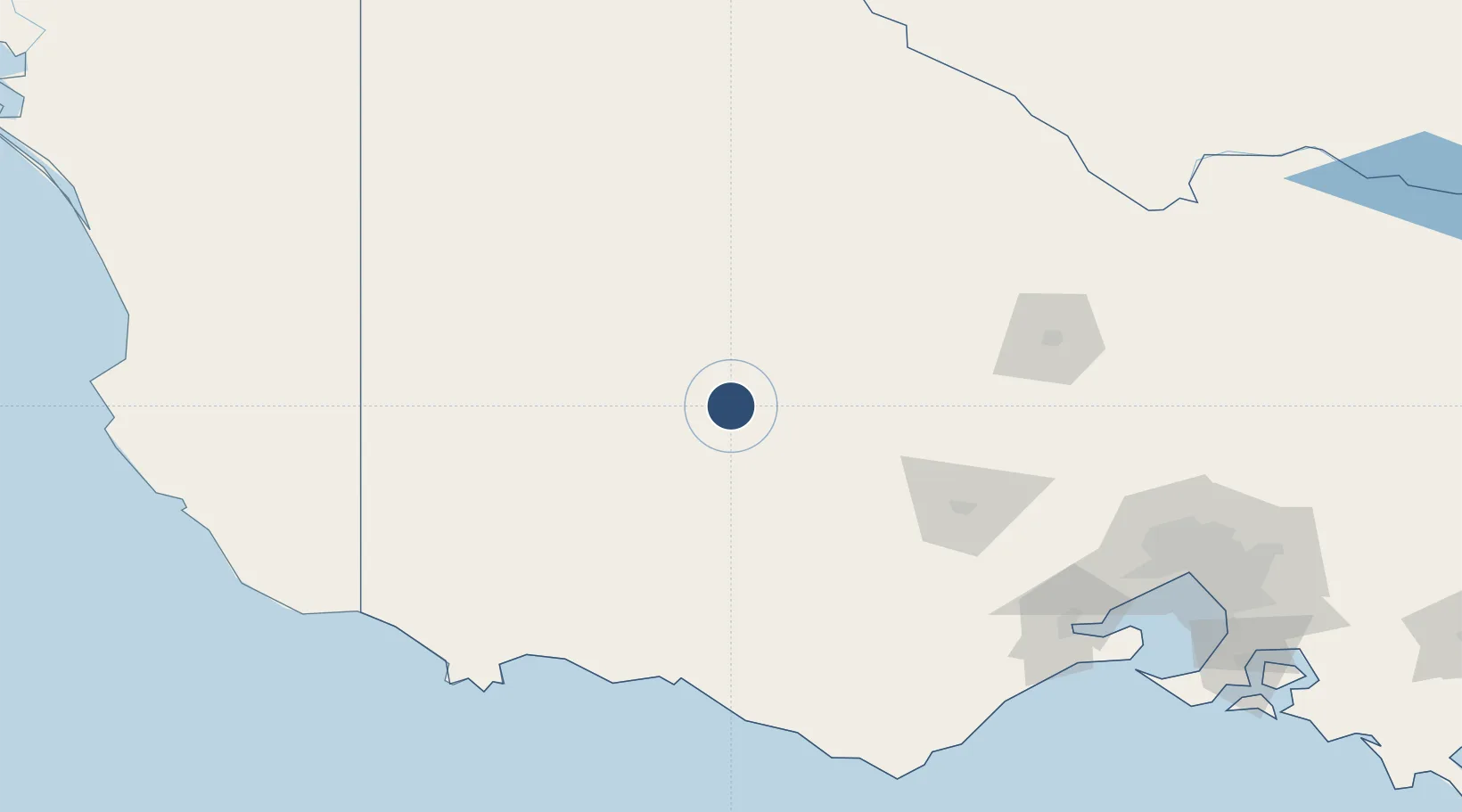
-37.0717°, 142.7410°
4,603 ft
Longest runway
2
Runways
807 ft
Elevation
Runway & Layout

Radio Frequencies
CTAF
119.1 MHz
FSS
125.8 MHz
MELBOURNE CNTR
Runways · 2
| Runway | Dimensions | Surface | True heading | Lit |
|---|---|---|---|---|
| 11/29 | 4,603 × 98ft | Asphalt | 115° | ✓ |
| 18/36 | 2,802 × 60ft | Asphalt | 185° | — |
Airport Specifications
IATA code
SWC
ICAO code
YSWL
Airport class
Medium airport
Scheduled service
No
Runway surface
Asphalt
Location
Nearby Logistics Neighbours
Airports
- 1Ararat Airport34 km
- 2Horsham Airport68 km
- 3Hamilton Airport88 km
- 4Warracknabeal Airport88 km
- 5Bendigo Airport146 km
Cities
- 1Great Western13 km
- 2Willaura35 km
- 3Bayindeen47 km
- 4Warrenmang50 km
- 5Pyrenees66 km
Ports
- 1Warrnambool149 km
- 2Portland173 km
- 3Geelong187 km
- 4Melbourne214 km
- 5Western Port261 km
Trade Zones
DatabookThe Record of Consolidated Knowledge
Australia beyond logistics?