UN/LOCODE hub · Australia
AUSAD
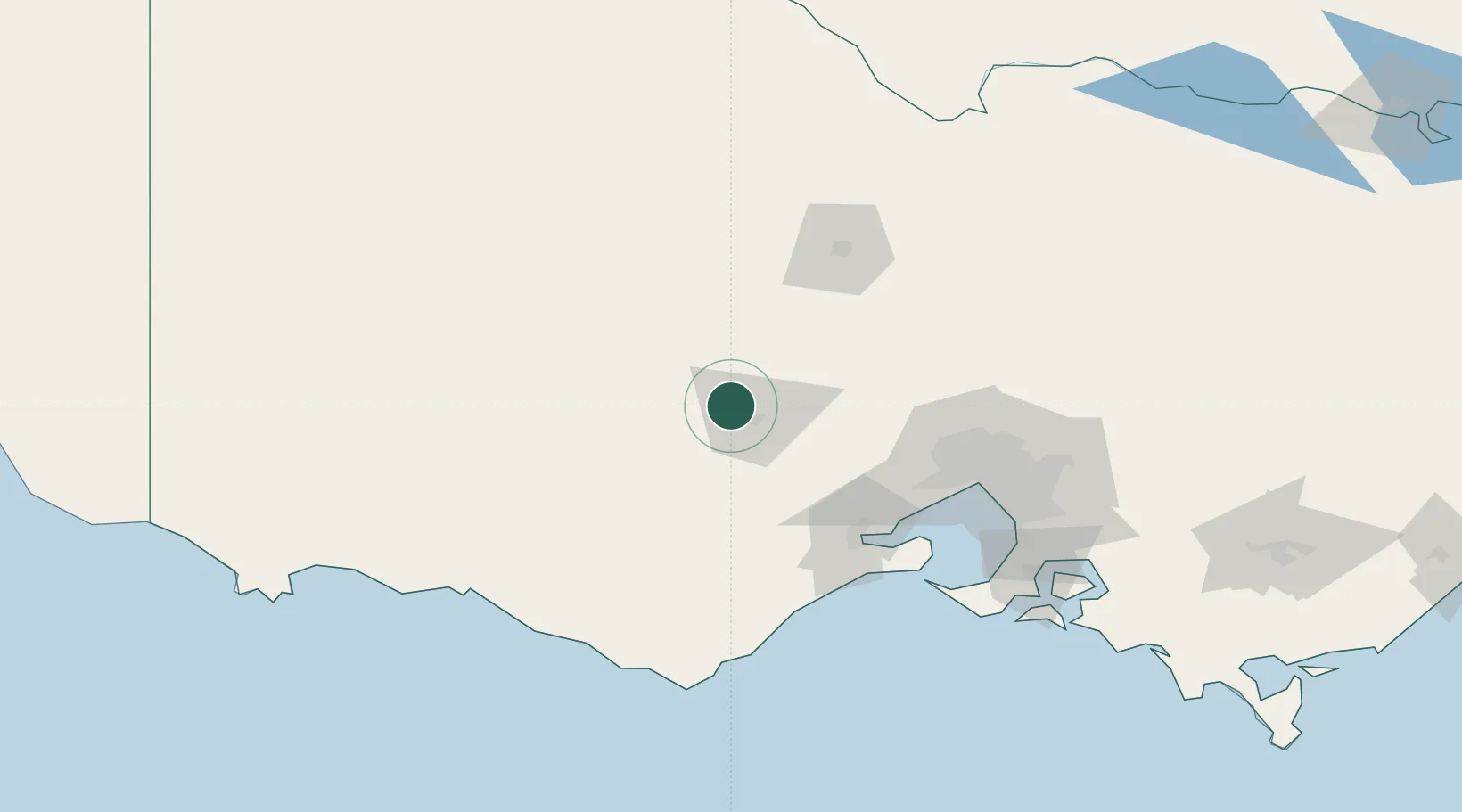
Maryborough
-37.5000°, 143.7500°
7,830
Population
1
Transport functions
Transport Functions
Port
Hub Profile
Place type
Populated place
Region
Victoria
Population
7,830
Time zone
Australia/Melbourne
Elevation
241 m
Location
Nearby Logistics Neighbours
Ports
- 1Geelong90 km
- 2Melbourne113 km
- 3Warrnambool150 km
- 4Western Port161 km
- 5Portland210 km
Airports
- 1Ararat Airport71 km
- 2Melbourne Avalon International Airport87 km
- 3Melbourne Airport98 km
- 4Bendigo Airport99 km
- 5Stawell Airport101 km
Trade Zones
DatabookThe Record of Consolidated Knowledge
Australia beyond logistics?