UN/LOCODE hub · Australia
AUTOG

Tooronga

-37.7667°, 145.1000°
1
Transport functions

Transport Functions

Multimodal
UN/LOCODE

Hub Profile

Region
VIC
GeoNames

Location

Location of AUTOG
Natural Earth 10m (public domain) · VIC · AUTOG · -37.77, 145.10GoogleOSMYandex

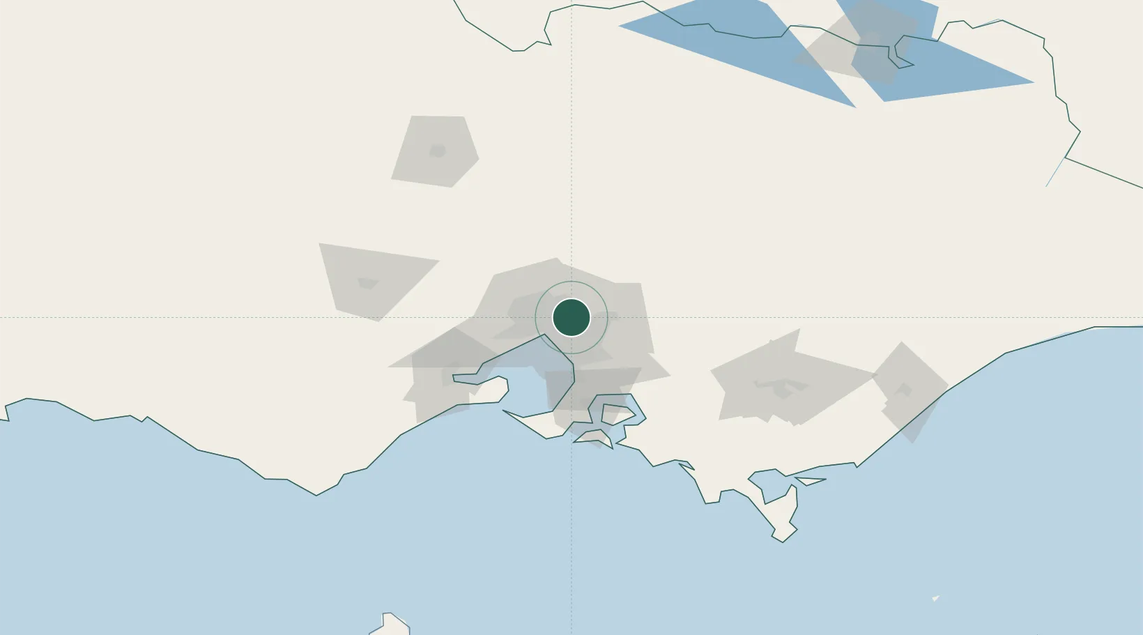
Nearby Logistics Neighbours

Cities
  1. 1Doncaster4 km
  2. 2Heidelberg4 km
  3. 3North Balwyn4 km
  4. 4Balwyn5 km
  5. 5Rosanna5 km
Nearest neighbours — logibook spatial index (haversine) over the source coordinates
Ports
  1. 1Melbourne14 km
  2. 2Western Port66 km
  3. 3Geelong77 km
  4. 4Welshpool158 km
  5. 5Warrnambool240 km
Nearest neighbours — logibook spatial index (haversine) over the source coordinates
Airports
  1. 1Melbourne Essendon Airport18 km
  2. 2Melbourne Moorabbin Airport24 km
  3. 3Melbourne Airport25 km
  4. 4Melbourne Avalon International Airport63 km
  5. 5Latrobe Valley Airport130 km
Nearest neighbours — logibook spatial index (haversine) over the source coordinates
Trade Zones
  1. 1Latrobe Valley Economic Growth Zone124 km
  2. 2Paga Hill Estate Special Economic Zone3152 km
  3. 3Vanuatu Economic Development Zone3289 km
  4. 4Ihu Special Economic Zone3322 km
  5. 5Morobe Agricultural Special Economic Zone3461 km
Nearest neighbours — logibook spatial index (haversine) over the source coordinates
DatabookThe Record of Consolidated Knowledge
Australia beyond logistics?
Browse databook

All Sources

LocationsUN/LOCODE
UN/LOCODE — free
Portsthe NGA World Port Index
Public domain (US gov)
AirportsOurAirports
Public domain
Trade Zonesthe World Bank SEZ database
CC BY 4.0
Trade ZonesOpen Zone Map
CC BY
← Australia locations