Transport Functions
Multimodal
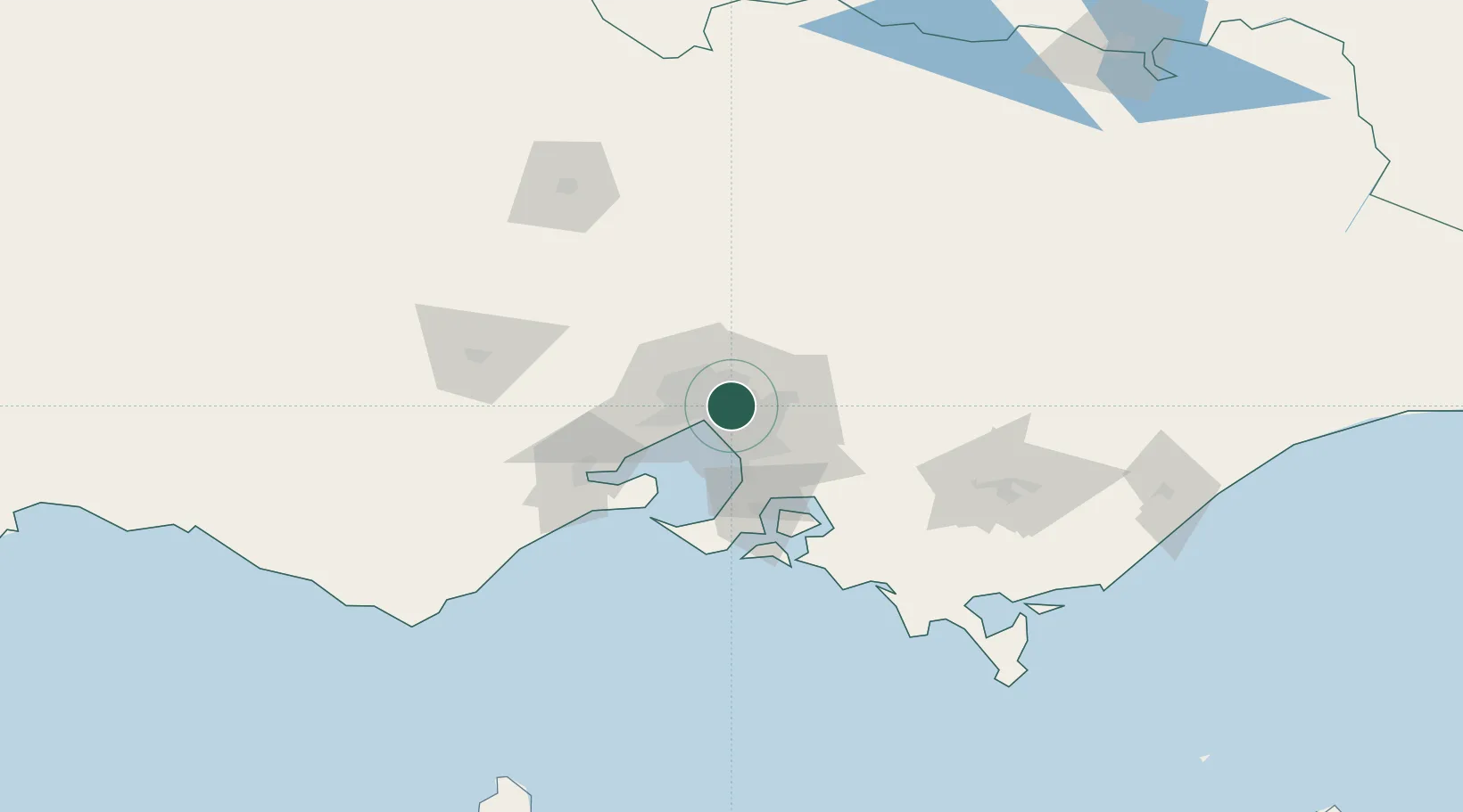
Hub Profile
Place type
Urban district
Region
Victoria
Population
13,495
Time zone
Australia/Melbourne
Elevation
58 m
Location
Nearby Logistics Neighbours
Cities
- 1North Balwyn2 km
- 2Surrey Hills4 km
- 3Camberwell4 km
- 4Tooronga5 km
- 5Heidelberg6 km
Ports
- 1Melbourne10 km
- 2Western Port63 km
- 3Geelong73 km
- 4Welshpool158 km
- 5Warrnambool236 km
Airports
Trade Zones
DatabookThe Record of Consolidated Knowledge
Australia beyond logistics?