Transport Functions
Multimodal
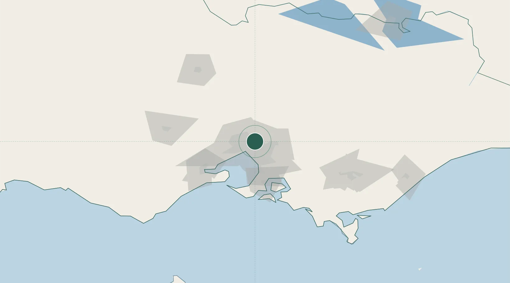
Hub Profile
Place type
Urban district
Region
Victoria
Population
8,616
Time zone
Australia/Melbourne
Elevation
46 m
Location
Nearby Logistics Neighbours
Cities
- 1Heidelberg2 km
- 2Tooronga5 km
- 3Bundoora6 km
- 4Alphington6 km
- 5Preston6 km
Ports
- 1Melbourne14 km
- 2Western Port70 km
- 3Geelong77 km
- 4Welshpool163 km
- 5Warrnambool238 km
Airports
- 1Melbourne Essendon Airport15 km
- 2Melbourne Airport21 km
- 3Melbourne Moorabbin Airport27 km
- 4Melbourne Avalon International Airport63 km
- 5Bendigo Airport128 km
Trade Zones
DatabookThe Record of Consolidated Knowledge
Australia beyond logistics?