Transport Functions
Multimodal
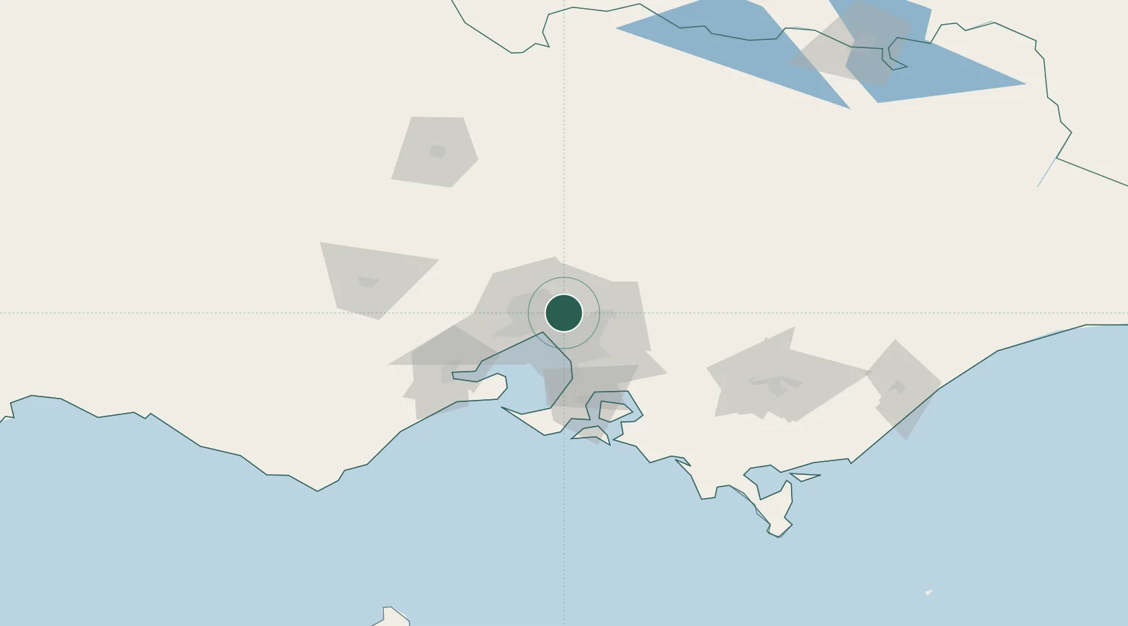
Hub Profile
Place type
Urban district
Region
Victoria
Population
7,360
Time zone
Australia/Melbourne
Elevation
39 m
Location
Nearby Logistics Neighbours
Cities
- 1Rosanna2 km
- 2Tooronga4 km
- 3Alphington5 km
- 4Balwyn6 km
- 5North Balwyn6 km
Ports
- 1Melbourne13 km
- 2Western Port68 km
- 3Geelong76 km
- 4Welshpool162 km
- 5Warrnambool237 km
Airports
- 1Melbourne Essendon Airport15 km
- 2Melbourne Airport22 km
- 3Melbourne Moorabbin Airport26 km
- 4Melbourne Avalon International Airport62 km
- 5Bendigo Airport130 km
Trade Zones
DatabookThe Record of Consolidated Knowledge
Australia beyond logistics?