Transport Functions
Rail
Road
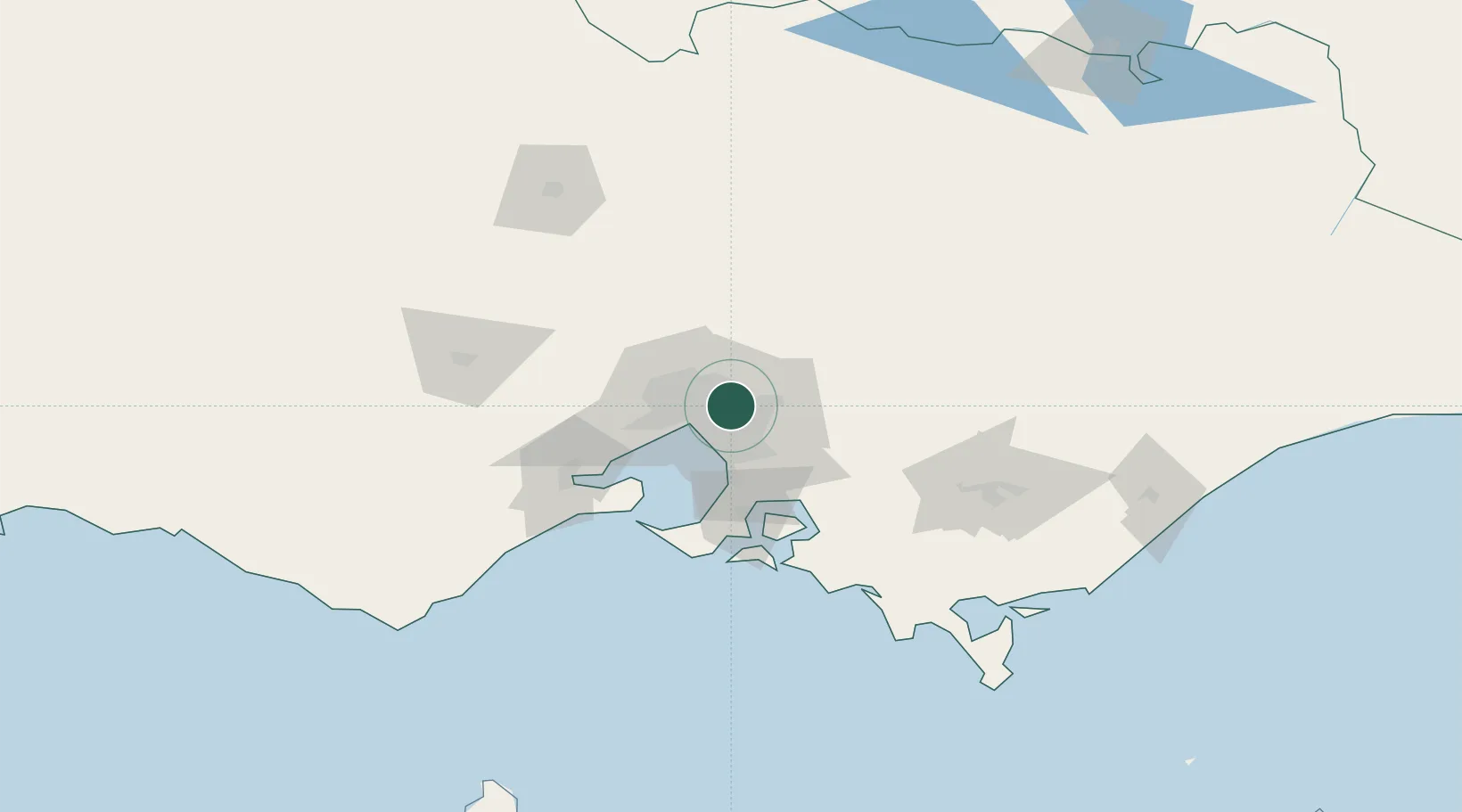
Hub Profile
Place type
Urban district
Region
Victoria
Population
25,020
Time zone
Australia/Melbourne
Elevation
108 m
Location
Nearby Logistics Neighbours
Cities
- 1Tooronga4 km
- 2Surrey Hills5 km
- 3Nunawading5 km
- 4North Balwyn5 km
- 5Eltham6 km
Ports
- 1Melbourne16 km
- 2Western Port64 km
- 3Geelong79 km
- 4Welshpool155 km
- 5Warrnambool242 km
Airports
Trade Zones
DatabookThe Record of Consolidated Knowledge
Australia beyond logistics?