UN/LOCODE hub · Australia
AUNBW

North Balwyn

-37.8000°, 145.0833°
2
Transport functions

Transport Functions

Road
Multimodal
UN/LOCODE

Hub Profile

Region
VIC
GeoNames

Location

Location of AUNBW
Natural Earth 10m (public domain) · VIC · AUNBW · -37.80, 145.08GoogleOSMYandex

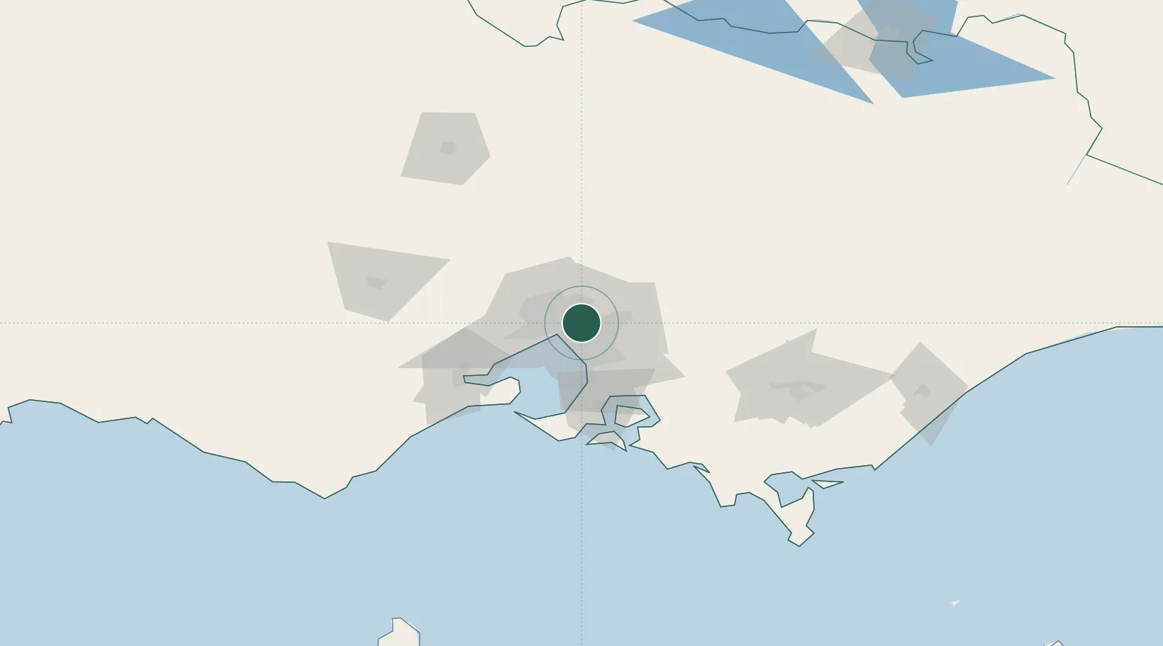
Nearby Logistics Neighbours

Cities
  1. 1Balwyn2 km
  2. 2Surrey Hills2 km
  3. 3Camberwell4 km
  4. 4Tooronga4 km
  5. 5Doncaster5 km
Nearest neighbours — logibook spatial index (haversine) over the source coordinates
Ports
  1. 1Melbourne11 km
  2. 2Western Port63 km
  3. 3Geelong74 km
  4. 4Welshpool157 km
  5. 5Warrnambool237 km
Nearest neighbours — logibook spatial index (haversine) over the source coordinates
Airports
  1. 1Melbourne Essendon Airport18 km
  2. 2Melbourne Moorabbin Airport20 km
  3. 3Melbourne Airport26 km
  4. 4Melbourne Avalon International Airport60 km
  5. 5Latrobe Valley Airport130 km
Nearest neighbours — logibook spatial index (haversine) over the source coordinates
Trade Zones
  1. 1Latrobe Valley Economic Growth Zone124 km
  2. 2Paga Hill Estate Special Economic Zone3156 km
  3. 3Vanuatu Economic Development Zone3293 km
  4. 4Ihu Special Economic Zone3325 km
  5. 5Morobe Agricultural Special Economic Zone3464 km
Nearest neighbours — logibook spatial index (haversine) over the source coordinates
DatabookThe Record of Consolidated Knowledge
Australia beyond logistics?
Browse databook

All Sources

LocationsUN/LOCODE
UN/LOCODE — free
Portsthe NGA World Port Index
Public domain (US gov)
AirportsOurAirports
Public domain
Trade Zonesthe World Bank SEZ database
CC BY 4.0
Trade ZonesOpen Zone Map
CC BY
← Australia locations