Large airport · Australia
Melbourne AirportYMML
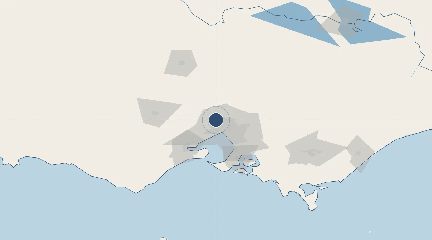
-37.6707°, 144.8379°
11,998 ft
Longest runway
2
Runways
434 ft
Elevation
Runway & Layout

Radio Frequencies
ATIS
118 MHz
YMML ATIS
TWR
120.5 MHz
Melbourne Tower
GND
121.7 MHz
Melbourne ground
CLD
127.2 MHz
CLNC DEL
APP
132 MHz
Melbourne Approach
DEP
118.9 MHz
Melbourne Departures (to north)
DEP
129.4 MHz
Melbourne Departures (to south)
Navaids
BOL NDB Bolinda 362 kHz
EPP NDB Epping 377 kHz
ML VOR-DME Melbourne 114.10 MHz
ROC NDB Rockdale 338 kHz
Runways · 2
| Runway | Dimensions | Surface | True heading | Lit |
|---|---|---|---|---|
| 16/34 | 11,998 × 197ft | Asphalt | 171° | ✓ |
| 09/27 | 7,500 × 148ft | Asphalt | 094° | ✓ |
Airport Specifications
IATA code
MEL
ICAO code
YMML
Airport class
Large airport
Scheduled service
Yes
Runway surface
Asphalt
Served city
Melbourne
Location
Nearby Logistics Neighbours
Airports
- 1Melbourne Essendon Airport9 km
- 2Melbourne Moorabbin Airport41 km
- 3Melbourne Avalon International Airport52 km
- 4Bendigo Airport113 km
- 5Shepparton Airport147 km
Cities
- 1Keilor5 km
- 2Keilor Park5 km
- 3Melbourne7 km
- 4Somerton7 km
- 5Pascoe Vale10 km
Ports
- 1Melbourne21 km
- 2Geelong67 km
- 3Western Port83 km
- 4Welshpool183 km
- 5Warrnambool222 km
Trade Zones
DatabookThe Record of Consolidated Knowledge
Australia beyond logistics?