UN/LOCODE hub · Australia
AUTGO

Tarago

-35.0667°, 149.6500°
2
Transport functions

Transport Functions

Rail
Road
UN/LOCODE

Hub Profile

Place type
Populated place
GeoNames
Region
New South Wales
GeoNames
Time zone
Australia/Sydney
GeoNames
Elevation
703 m
GeoNames

Location

Location of AUTGO
Natural Earth 10m (public domain) · New South Wales · AUTGO · -35.07, 149.65GoogleOSMYandex

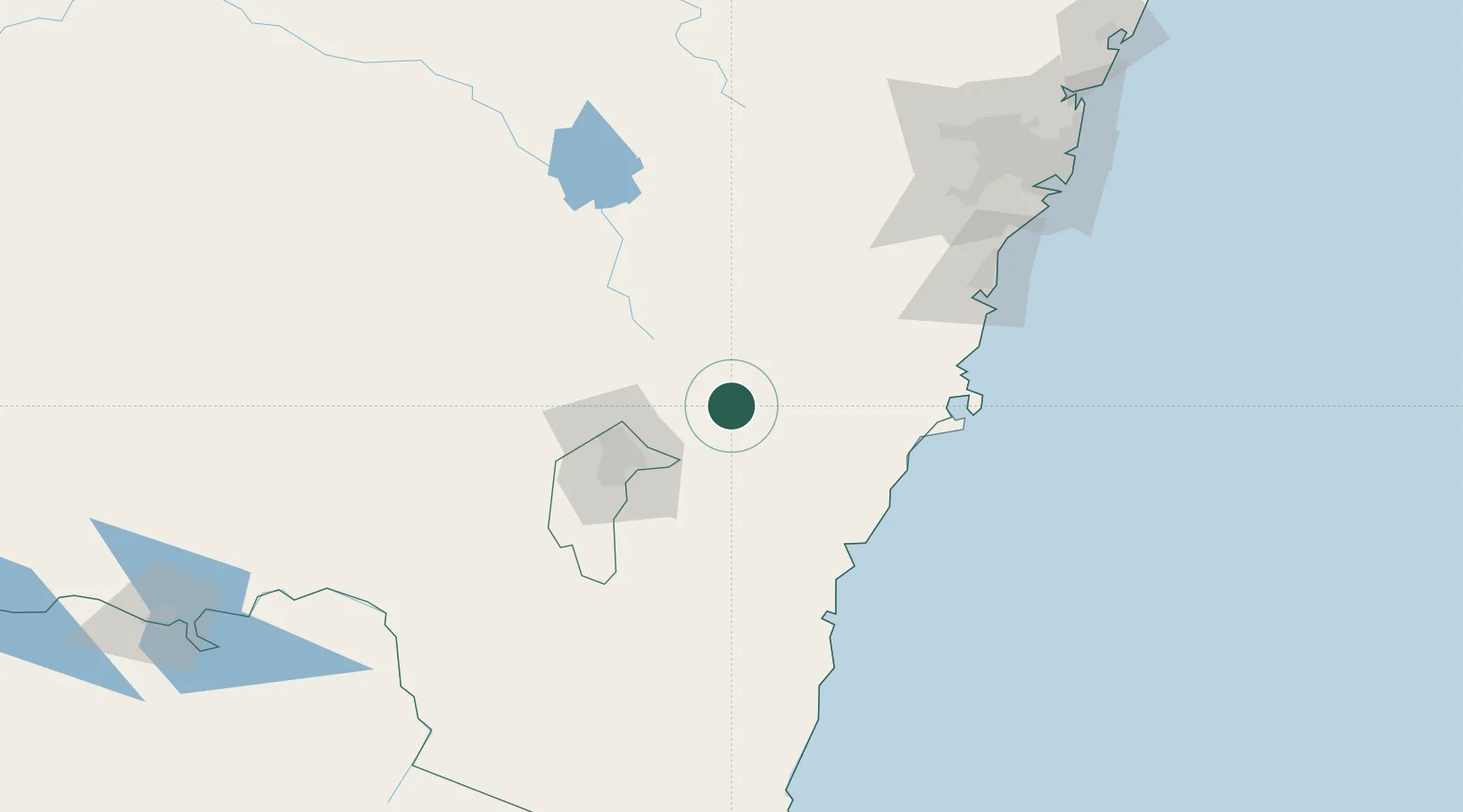
Nearby Logistics Neighbours

Cities
  1. 1Norwood45 km
  2. 2Gunning47 km
  3. 3Queanbeyan49 km
  4. 4Fyshwick/Canberra53 km
  5. 5Dalton58 km
Nearest neighbours — logibook spatial index (haversine) over the source coordinates
Ports
  1. 1Batemans Bay85 km
  2. 2Jervis Bay105 km
  3. 3Port Kembla133 km
  4. 4Botany Bay187 km
  5. 5Sydney195 km
Nearest neighbours — logibook spatial index (haversine) over the source coordinates
Airports
  1. 1Goulburn Airport29 km
  2. 2Gundaroo Airport36 km
  3. 3Canberra Airport49 km
  4. 4Naval Air Station Nowra - HMAS Albatross82 km
  5. 5Moruya Airport103 km
Nearest neighbours — logibook spatial index (haversine) over the source coordinates
Trade Zones
  1. 1Latrobe Valley Economic Growth Zone457 km
  2. 2Hicks Bay Area Special Economic Zone2557 km
  3. 3Vanuatu Economic Development Zone2789 km
  4. 4Paga Hill Estate Special Economic Zone2856 km
  5. 5Ihu Special Economic Zone3052 km
Nearest neighbours — logibook spatial index (haversine) over the source coordinates
DatabookThe Record of Consolidated Knowledge
Australia beyond logistics?
Browse databook

All Sources

LocationsUN/LOCODE
UN/LOCODE — free
Portsthe NGA World Port Index
Public domain (US gov)
AirportsOurAirports
Public domain
Trade Zonesthe World Bank SEZ database
CC BY 4.0
Trade ZonesOpen Zone Map
CC BY
← Australia locations