Transport Functions
Port
Fixed Transport
Hub Profile
Place type
Populated place
Region
New South Wales
Population
191
Time zone
Australia/Sydney
Elevation
543 m
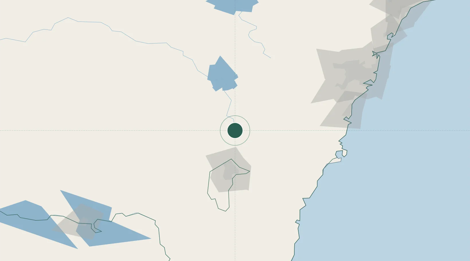
Location
Nearby Logistics Neighbours
Ports
- 1Batemans Bay141 km
- 2Jervis Bay154 km
- 3Port Kembla161 km
- 4Botany Bay204 km
- 5Sydney208 km
Airports
- 1Gundaroo Airport38 km
- 2Goulburn Airport51 km
- 3Canberra Airport66 km
- 4Young Airport100 km
- 5Cootamundra Airport105 km
Trade Zones
DatabookThe Record of Consolidated Knowledge
Australia beyond logistics?