Transport Functions
Rail
Road
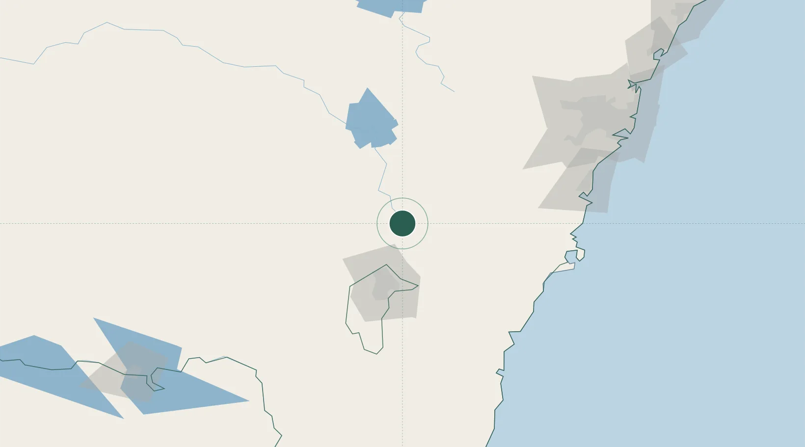
Hub Profile
Place type
Populated place
Region
New South Wales
Population
658
Time zone
Australia/Sydney
Elevation
565 m
Location
Nearby Logistics Neighbours
Ports
- 1Batemans Bay131 km
- 2Jervis Bay145 km
- 3Port Kembla155 km
- 4Botany Bay200 km
- 5Sydney205 km
Airports
- 1Gundaroo Airport30 km
- 2Goulburn Airport42 km
- 3Canberra Airport59 km
- 4Tumut Aerodrome108 km
- 5Young Airport110 km
Trade Zones
DatabookThe Record of Consolidated Knowledge
Australia beyond logistics?