Medium airport · Australia
Canberra AirportYSCB
-35.3069°, 149.1950°
10,771 ft
Longest runway
2
Runways
1,886 ft
Elevation
Runway & Layout

Radio Frequencies
ATIS
127.45 MHz
APP/DEP EAST
124.5 MHz
Approach/Departure EAST of R35
APP/DEP WEST
125.9 MHz
Approach/Departure WEST of R35 (MELBOURNE CNTR)
ATIS/VOR
116.7 MHz
ATIS AH
GCCD
121.7 MHz
GND CLNC DEL
TWR/CTAF
118.7 MHz
TWR (CTAF AH)
Navaids
CB VOR-DME Canberra 116.70 MHz
CB NDB Canberra 263 kHz
CCK NDB Church Creek 248 kHz
Runways · 2
| Runway | Dimensions | Surface | True heading | Lit |
|---|---|---|---|---|
| 17/35 | 10,771 × 148ft | Asphalt | 180° | ✓ |
| 12/30 | 5,509 × 98ft | Asphalt | 130° | ✓ |
Airport Specifications
IATA code
CBR
ICAO code
YSCB
Airport class
Medium airport
Scheduled service
Yes
Runway surface
Asphalt
Served city
Canberra
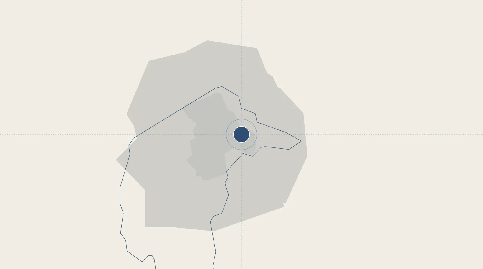
Location
Nearby Logistics Neighbours
Airports
- 1Gundaroo Airport29 km
- 2Goulburn Airport73 km
- 3Tumut Aerodrome87 km
- 4Moruya Airport108 km
- 5Cooma Snowy Mountains Airport112 km
Cities
- 1Fyshwick/Canberra4 km
- 2Queanbeyan6 km
- 3Michelago46 km
- 4Tarago49 km
- 5Gunning59 km
Ports
- 1Batemans Bay98 km
- 2Jervis Bay147 km
- 3Port Kembla182 km
- 4Eden206 km
- 5Botany Bay236 km
Trade Zones
DatabookThe Record of Consolidated Knowledge
Australia beyond logistics?