UN/LOCODE hub · Australia
AUNOR

Norwood

-34.6667°, 149.7333°
2
Transport functions

Transport Functions

Rail
Road
UN/LOCODE

Hub Profile

Place type
Populated place
GeoNames
Region
New South Wales
GeoNames
Time zone
Australia/Sydney
GeoNames
Elevation
696 m
GeoNames

Location

Location of AUNOR
Natural Earth 10m (public domain) · New South Wales · AUNOR · -34.67, 149.73GoogleOSMYandex

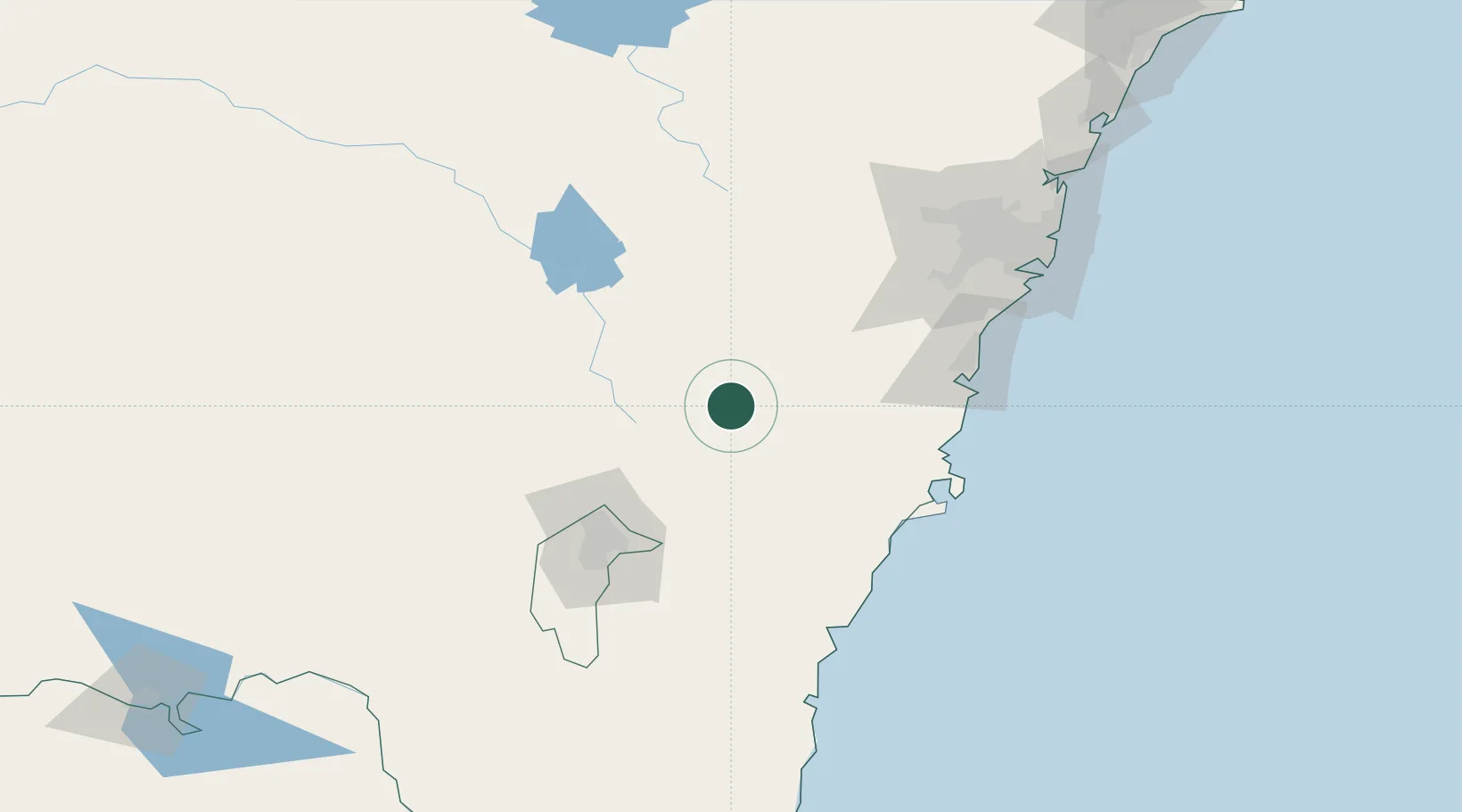
Nearby Logistics Neighbours

Cities
  1. 1Gunning45 km
  2. 2Tarago45 km
  3. 3Dalton51 km
  4. 4Moss Vale59 km
  5. 5Bowral66 km
Nearest neighbours — logibook spatial index (haversine) over the source coordinates
Ports
  1. 1Jervis Bay109 km
  2. 2Port Kembla110 km
  3. 3Batemans Bay122 km
  4. 4Botany Bay156 km
  5. 5Sydney162 km
Nearest neighbours — logibook spatial index (haversine) over the source coordinates
Airports
  1. 1Goulburn Airport16 km
  2. 2Gundaroo Airport61 km
  3. 3Naval Air Station Nowra - HMAS Albatross80 km
  4. 4Canberra Airport86 km
  5. 5Shellharbour Airport97 km
Nearest neighbours — logibook spatial index (haversine) over the source coordinates
Trade Zones
  1. 1Latrobe Valley Economic Growth Zone497 km
  2. 2Hicks Bay Area Special Economic Zone2562 km
  3. 3Vanuatu Economic Development Zone2751 km
  4. 4Paga Hill Estate Special Economic Zone2813 km
  5. 5Ihu Special Economic Zone3010 km
Nearest neighbours — logibook spatial index (haversine) over the source coordinates
DatabookThe Record of Consolidated Knowledge
Australia beyond logistics?
Browse databook

All Sources

LocationsUN/LOCODE
UN/LOCODE — free
Portsthe NGA World Port Index
Public domain (US gov)
AirportsOurAirports
Public domain
Trade Zonesthe World Bank SEZ database
CC BY 4.0
Trade ZonesOpen Zone Map
CC BY
← Australia locations