Medium airport · Australia
Moruya AirportYMRY
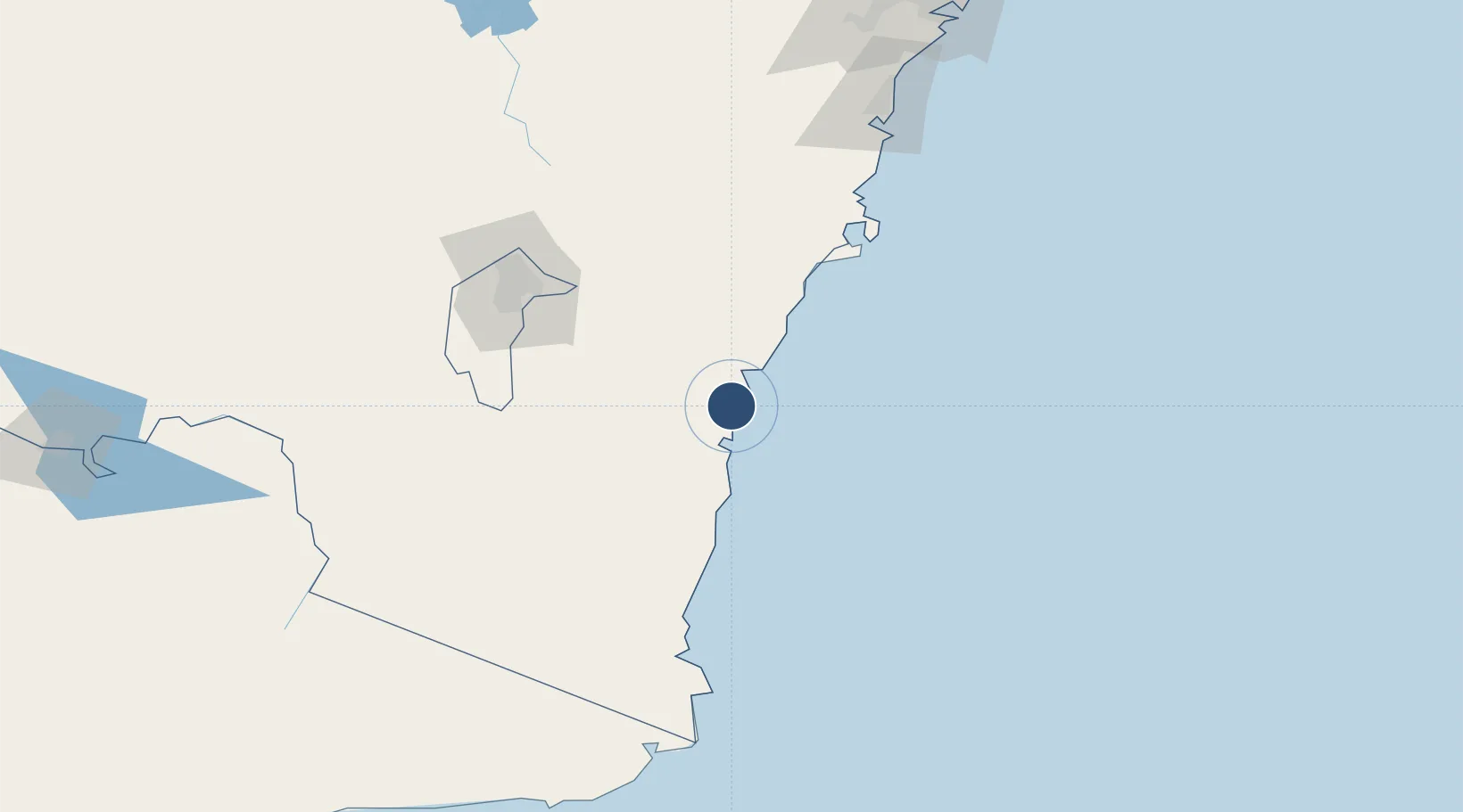
-35.8978°, 150.1440°
4,997 ft
Longest runway
2
Runways
14 ft
Elevation
Runway & Layout

Radio Frequencies
FSS
120.75 MHz
MELBOURNE CNTR
UNIC
126.7 MHz
CTAF/UNICOM
Navaids
MRY NDB Moruya 215 kHz
Runways · 2
| Runway | Dimensions | Surface | True heading | Lit |
|---|---|---|---|---|
| 18/36 | 4,997 × 98ft | Asphalt | 192° | ✓ |
| 04/22 | 2,713 × 60ft | Gravel | 057° | — |
Airport Specifications
IATA code
MYA
ICAO code
YMRY
Airport class
Medium airport
Scheduled service
Yes
Runway surface
Asphalt
Served city
Moruya
Location
Nearby Logistics Neighbours
Airports
- 1Canberra Airport108 km
- 2Naval Air Station Nowra - HMAS Albatross112 km
- 3Cooma Snowy Mountains Airport114 km
- 4Merimbula Airport115 km
- 5Gundaroo Airport124 km
Cities
- 1Ulladulla66 km
- 2Michelago92 km
- 3Nimmitabel102 km
- 4Queanbeyan102 km
- 5Tarago103 km
Ports
- 1Batemans Bay22 km
- 2Jervis Bay105 km
- 3Eden132 km
- 4Port Kembla172 km
- 5Botany Bay233 km
Trade Zones
DatabookThe Record of Consolidated Knowledge
Australia beyond logistics?