Transport Functions
Rail
Road
Multimodal
Hub Profile
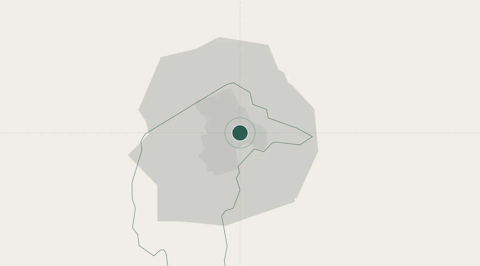
Region
ACT
Location
Nearby Logistics Neighbours
Cities
- 1Queanbeyan8 km
- 2Michelago45 km
- 3Tarago53 km
- 4Yass58 km
- 5Gunning60 km
Ports
- 1Batemans Bay101 km
- 2Jervis Bay152 km
- 3Port Kembla186 km
- 4Eden206 km
- 5Botany Bay240 km
Airports
- 1Canberra Airport4 km
- 2Gundaroo Airport31 km
- 3Goulburn Airport77 km
- 4Tumut Aerodrome83 km
- 5Cooma Snowy Mountains Airport111 km
Trade Zones
DatabookThe Record of Consolidated Knowledge
Australia beyond logistics?