Small airport · Australia

Gundaroo AirportYGDO

-35.0505°, 149.2559°
1,860 ft
Elevation

Runway & Layout

Gundaroo Airport runway & taxiway layout
Runway & taxiway layout — OpenStreetMap (ODbL) / OurAirports

Airport Specifications

ICAO code
YGDO
OurAirports
Airport class
Small airport
OurAirports
Scheduled service
Yes
OurAirports

Location

Location of YGDO
Natural Earth 10m (public domain) · New South Wales · YGDO · -35.05, 149.26GoogleOSMYandex

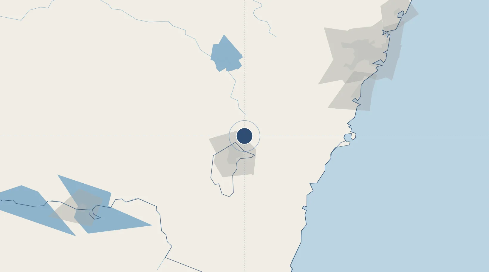
Nearby Logistics Neighbours

Airports
  1. 1Canberra Airport29 km
  2. 2Goulburn Airport51 km
  3. 3Tumut Aerodrome95 km
  4. 4Naval Air Station Nowra - HMAS Albatross118 km
  5. 5Cootamundra Airport121 km
Nearest neighbours — logibook spatial index (haversine) over the source coordinates
Cities
  1. 1Gunning30 km
  2. 2Fyshwick/Canberra31 km
  3. 3Queanbeyan33 km
  4. 4Tarago36 km
  5. 5Dalton38 km
Nearest neighbours — logibook spatial index (haversine) over the source coordinates
Ports
  1. 1Batemans Bay110 km
  2. 2Jervis Bay141 km
  3. 3Port Kembla164 km
  4. 4Botany Bay216 km
  5. 5Sydney222 km
Nearest neighbours — logibook spatial index (haversine) over the source coordinates
Trade Zones
  1. 1Latrobe Valley Economic Growth Zone437 km
  2. 2Hicks Bay Area Special Economic Zone2593 km
  3. 3Vanuatu Economic Development Zone2812 km
  4. 4Paga Hill Estate Special Economic Zone2851 km
  5. 5Ihu Special Economic Zone3045 km
Nearest neighbours — logibook spatial index (haversine) over the source coordinates
DatabookThe Record of Consolidated Knowledge
Australia beyond logistics?
Browse databook

All Sources

AirportsOurAirports
Public domain
Portsthe NGA World Port Index
Public domain (US gov)
LocationsUN/LOCODE
UN/LOCODE — free
Trade Zonesthe World Bank SEZ database
CC BY 4.0
Trade ZonesOpen Zone Map
CC BY
InfrastructureOpenStreetMap
ODbL 1.0
← Australia airports