Medium airport · Australia

Goulburn AirportYGLB
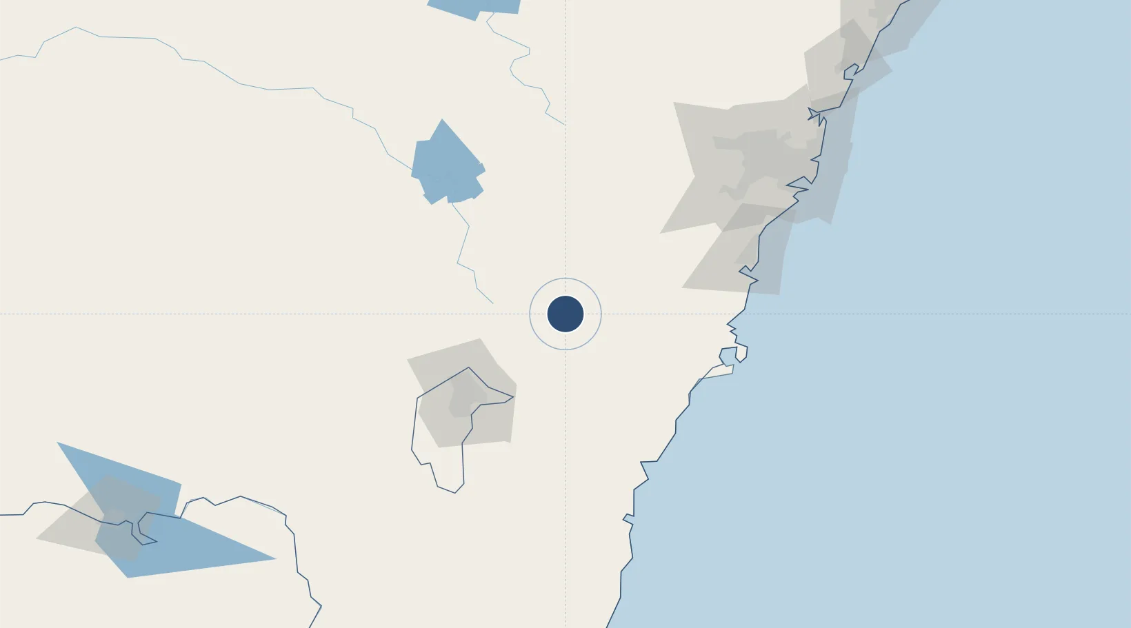
-34.8103°, 149.7260°
4,209 ft
Longest runway
2
Runways
2,141 ft
Elevation

Runway & Layout

Goulburn Airport runway & taxiway layout
Runway & taxiway layout — OpenStreetMap (ODbL) / OurAirports

Radio Frequencies

CTAF
127.15 MHz
FSS
121.2 MHz
MELBOURNE CNTR
OurAirports

Navaids

GLB NDB Goulburn 407 kHz
OurAirports

Runways · 2

RunwayDimensions SurfaceTrue headingLit
04/22 4,209 × 98ft Asphalt 048°
08/26 2,218 × 98ft Graded earth 092°
OurAirports

Airport Specifications

IATA code
GUL
OurAirports
ICAO code
YGLB
OurAirports
Airport class
Medium airport
OurAirports
Scheduled service
No
OurAirports
Runway surface
Asphalt
OurAirports

Location

Location of YGLB
Natural Earth 10m (public domain) · New South Wales · YGLB · -34.81, 149.73GoogleOSMYandex

Nearby Logistics Neighbours

Airports
  1. 1Gundaroo Airport51 km
  2. 2Canberra Airport73 km
  3. 3Naval Air Station Nowra - HMAS Albatross76 km
  4. 4Shellharbour Airport101 km
  5. 5Camden Airport123 km
Nearest neighbours — logibook spatial index (haversine) over the source coordinates
Cities
  1. 1Norwood16 km
  2. 2Tarago29 km
  3. 3Gunning42 km
  4. 4Dalton51 km
  5. 5Moss Vale65 km
Nearest neighbours — logibook spatial index (haversine) over the source coordinates
Ports
  1. 1Jervis Bay104 km
  2. 2Batemans Bay107 km
  3. 3Port Kembla115 km
  4. 4Botany Bay165 km
  5. 5Sydney171 km
Nearest neighbours — logibook spatial index (haversine) over the source coordinates
Trade Zones
  1. 1Latrobe Valley Economic Growth Zone484 km
  2. 2Hicks Bay Area Special Economic Zone2558 km
  3. 3Vanuatu Economic Development Zone2763 km
  4. 4Paga Hill Estate Special Economic Zone2829 km
  5. 5Ihu Special Economic Zone3025 km
Nearest neighbours — logibook spatial index (haversine) over the source coordinates
DatabookThe Record of Consolidated Knowledge
Australia beyond logistics?
Browse databook

All Sources

AirportsOurAirports
Public domain
Portsthe NGA World Port Index
Public domain (US gov)
LocationsUN/LOCODE
UN/LOCODE — free
Trade Zonesthe World Bank SEZ database
CC BY 4.0
Trade ZonesOpen Zone Map
CC BY
InfrastructureOpenStreetMap
ODbL 1.0
← Australia airports